Private Kırklareli Archaeology Experience
Ask us about a tailor-made journey combining Aşağıpınar, Kırklareli Museum, prehistoric Thrace and the wider archaeological landscape of the region.
Request a Custom Tour





Just south of Kırklareli lies an archaeological site that helps tell one of the most important stories in European prehistory: the emergence and development of farming communities and permanent village life in Turkish Thrace.
Aşağıpınar Archaeological Site, also known as Aşağıpınar Höyüğü, was inhabited from approximately 6200 to 4900 BC, during the Neolithic and Chalcolithic periods.
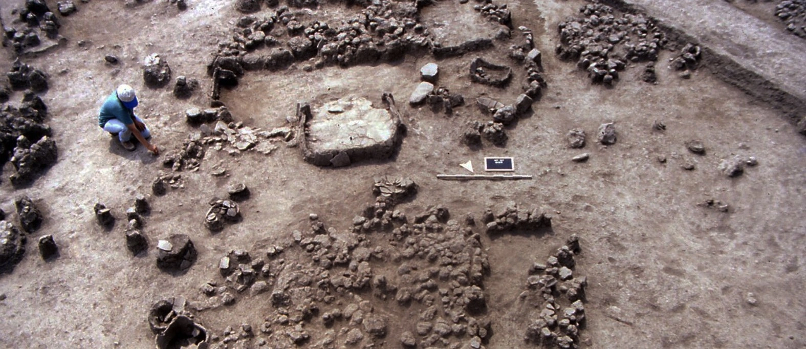
Excavations have revealed successive prehistoric settlements, houses built using timber, branches and clay, storage areas, hearths, pottery, stone and bone tools, figurines, ornaments and other traces of everyday life.
The importance of Aşağıpınar extends far beyond Kırklareli. Its long archaeological sequence helps researchers understand the connections between Anatolia and the Balkans during the centuries when farming, animal husbandry and settled village life were becoming established across southeastern Europe.
Today the archaeological landscape is complemented by an open-air museum and reconstructed prehistoric environment, helping visitors imagine how the people who lived here more than eight thousand years ago built homes, produced food and organized their communities.
One of the most important prehistoric settlement sequences known from Turkish Thrace.
A key site for understanding the development of agriculture and settled village life in the Balkans.
Successive occupation layers preserve major changes in architecture, pottery and community organization.
Reconstructed prehistoric buildings and interpretation areas help bring the ancient settlement to life.
Essential information about one of the most significant prehistoric settlements in Kırklareli.
Approximately 3 km south of central Kırklareli, along the road toward Asilbeyli.
Open on Google MapsLate Neolithic to Chalcolithic, approximately 6200–4900 BC.
Prehistoric settlement mound – höyük – preserving successive farming villages.
Systematic archaeological excavations began in 1993.
Nine main archaeological phases document more than a millennium of prehistoric settlement.
A major site for studying how farming and village life developed between Anatolia and southeastern Europe.
Long before the Thracians, Greeks, Romans, Byzantines and Ottomans, farming communities were already building villages on the plains of Kırklareli.
The archaeological story of Aşağıpınar begins around 6200 BC, when some of the earliest farming communities known from this part of Thrace established a settlement beside reliable freshwater resources and a landscape offering access to fertile land, woodland and other natural materials.
These communities belonged to a world undergoing one of the most important transformations in human history. Rather than depending entirely on hunting, gathering and seasonal mobility, people increasingly relied upon agriculture, animal husbandry and permanent settlements.
Aşağıpınar became a long-lived village. Generation after generation rebuilt houses, changed the organization of the settlement, developed different pottery traditions and adapted their way of life to new social and environmental conditions.
The site's successive archaeological levels extend to approximately 4900 BC. They provide researchers with an unusually valuable sequence for following cultural developments across more than a thousand years.
Much later activity also left traces at the mound. Archaeologists identified evidence associated with the Early Iron Age, including pits and ritual activity, as well as traces of a later tumulus.
The great importance of Aşağıpınar was recognized through archaeological survey work in Kırklareli. Systematic excavation began in 1993 as part of a major research program involving İstanbul University, the German Archaeological Institute and other international specialists.
The results transformed understanding of prehistoric Thrace. Aşağıpınar demonstrated that this region was not simply a corridor between larger civilizations. It possessed its own long-lived communities, local traditions and changing relationships with both Anatolia and the Balkans.
Aşağıpınar is particularly important because archaeologists can follow the development of prehistoric village life through a long sequence of successive occupation levels.
The main settlement sequence is represented by eight numbered levels together with an intermediate transition phase, creating nine major stages in the archaeological record.
These layers show that the community was not static. Architecture changed, pottery styles developed, the settlement expanded and contracted, and its cultural connections gradually shifted.
The earliest known phase of settlement, representing the beginning of the prehistoric occupation sequence.
Early farming villages characterized by closely arranged wattle-and-daub houses and distinctive pottery traditions.
A period of change in pottery and settlement organization between the earlier and later village traditions.
Later prehistoric communities with increasingly independent buildings and stronger cultural similarities with the Balkans.
Later pits and evidence of ritual activity disturbed parts of the much older prehistoric settlement.
Archaeologists also identified traces associated with a later burial mound dating to antiquity.
The earliest communities at Aşağıpınar belonged to the period when agriculture and permanent village life were becoming firmly established across southeastern Europe.
The houses revealed in the early archaeological levels were built mainly using wattle-and-daub construction. Wooden posts and woven branches created the walls, which were then covered with clay or mud plaster.
Rather than standing randomly across the landscape, many of the buildings were positioned close together. Some formed adjoining rows, creating a recognizable prehistoric village plan.
Inside the houses, archaeologists discovered features associated with everyday domestic life: hearths, storage areas, working surfaces and spaces used for preparing and preserving food.
Walls were formed from wooden frameworks and woven branches covered with clay plaster.
Many buildings had four-sided plans rather than being simple circular shelters.
Fire installations inside houses were essential for cooking, warmth and daily household activity.
Compartments and storage spaces preserved grain and other foods produced by the farming community.
Domestic spaces were used for food preparation, craft production and other everyday activities.
Groups of neighboring houses show that these communities were already creating organized permanent settlements.
One of the most revealing archaeological discoveries at Aşağıpınar came from Level 6.
Part of this settlement was destroyed by a severe fire. Although disastrous for the people who lived there, the destruction created exceptional conditions for archaeology. Objects and architectural remains were sealed beneath collapsed and burned building material.
Excavators uncovered a row of adjoining rectangular structures containing pottery, stone and clay objects and storage compartments that still preserved evidence of grain and other food supplies.
Because the buildings appear to have been destroyed while still in active use, Level 6 offers something close to a snapshot of prehistoric domestic life.
The settlement suffered a major fire that helped preserve architectural remains and objects where they had been used.
A curving row of closely connected rectangular buildings formed an organized part of the village.
Storage areas contained evidence that grain and other food supplies were present when the buildings were destroyed.
Pottery and household materials survived within buildings, allowing archaeologists to reconstruct everyday activities.
The greatest significance of Aşağıpınar is closely connected with food production.
The people who lived here belonged to established farming communities. Their economy depended on a combination of cultivated plants, domesticated animals and continued use of surrounding natural resources.
Grain storage, food-processing equipment, animal remains and domestic installations found during excavation allow archaeologists to reconstruct the everyday routines that sustained the village.
The site therefore helps document one of the fundamental transitions in European history: the development of communities whose survival increasingly depended upon producing food rather than simply collecting it from the wild.
Cultivated cereals formed an important part of the village economy and were stored within domestic buildings.
Domesticated animals formed part of the mixed farming economy practiced by prehistoric communities.
Storage compartments reveal the importance of preserving agricultural products beyond the harvest season.
Stone tools helped transform harvested grain into food suitable for cooking and consumption.
Hearths and pottery vessels formed an essential part of domestic food preparation.
Agriculture encouraged communities to invest in houses, storage facilities and increasingly organized villages.
Pottery is one of the most important tools archaeologists use to understand the chronology and cultural relationships of prehistoric communities.
At Aşağıpınar, the pottery traditions changed considerably over time. The earliest major settlement phases include red-slipped pottery decorated with white-painted designs.
These ceramics have strong parallels with early Neolithic traditions known from the Balkans, including material associated with Karanovo I and II.
During later phases, dark polished pottery became more common and painted decoration was increasingly replaced by incised, grooved and other surface treatments.
These changes are particularly important because they show that Aşağıpınar's cultural relationships were themselves changing. Over time, the settlement developed increasingly distinctive Balkan characteristics.
Early vessels frequently display carefully prepared red surfaces.
White-painted designs are among the characteristic decorative traditions of the earlier settlement phases.
Later occupation levels show increasing use of dark-surfaced and carefully burnished pottery.
Grooved, cut and incised designs became increasingly important during later prehistoric phases.
The people of Aşağıpınar left behind far more than houses and pottery. Thousands of smaller objects provide clues to craftsmanship, food preparation, personal appearance and symbolic beliefs.
Archaeologists have recovered tools made from stone, bone and clay, together with ornaments and objects whose exact social or ritual purpose is still interpreted through comparison with other prehistoric sites.
Particularly striking are the site's numerous female figurines, which belong to a wider tradition of anthropomorphic representation found across Neolithic southeastern Europe and Anatolia.
Numerous anthropomorphic figurines provide evidence for the symbolic and artistic world of the settlement.
Carefully shaped bone implements demonstrate the diversity of everyday household tools.
Stone implements were used for cutting, processing food and many other domestic activities.
Stamp-like objects form part of the distinctive material culture recovered from prehistoric Aşağıpınar.
Marble, serpentine and other materials were transformed into beads, bracelets and personal ornaments.
Some bone artifacts were ornamented, demonstrating that prehistoric craftsmanship extended beyond purely practical needs.
Clay ornaments provide another glimpse into personal appearance and prehistoric material culture.
Unusual ceramic forms may have served activities beyond everyday food preparation and storage.
Aşağıpınar's location is one of the keys to understanding its importance.
Kırklareli lies within Eastern Thrace, the land bridge connecting Anatolia, the Balkans and ultimately the wider European continent.
During the Neolithic period, new ways of producing food, building settlements and organizing community life spread across this interconnected landscape.
Aşağıpınar allows researchers to examine that process in exceptional detail. The earlier settlement phases show strong similarities with traditions known both from Anatolia and the early farming cultures of the Balkans.
Later, distinctive regional characteristics become increasingly prominent. By the later occupation phases, the archaeological material from Aşağıpınar shows much stronger connections with the prehistoric cultures of southeastern Europe.
The site therefore documents something more complex than a simple movement of people from east to west. It reveals interaction, adaptation and the development of new regional identities over many centuries.
To modern visitors, Aşağıpınar can initially appear surprisingly modest. Unlike a dramatic rocky acropolis or a monumental Roman city, the archaeological mound is low, broad and difficult to distinguish from the surrounding landscape.
For prehistoric farmers, however, this location offered important advantages.
The settlement stood close to freshwater sources in a transitional landscape between the Istranca Mountains and the Ergene Basin.
Nearby environments provided agricultural land, water, timber, wild plants, animals and raw materials useful for constructing houses and manufacturing tools.
Nearby springs and wetland environments provided one of the most essential resources for permanent settlement.
The surrounding landscape offered land suitable for cultivation and food production.
Timber and branches were essential materials for houses, tools, fuel and other domestic needs.
The transition between mountains and plains provided access to a broad range of natural resources.
Systematic archaeological work at Aşağıpınar began in 1993 following extensive prehistoric research and survey in the Kırklareli region.
The project brought together specialists from İstanbul University, the German Archaeological Institute and international research teams.
Rather than concentrating only on spectacular objects, the excavations investigated the full structure of prehistoric life: houses, settlement organization, food production, pottery, animal remains, tools, environmental conditions and changes through time.
This long-term approach made Aşağıpınar one of the fundamental reference sites for understanding the prehistoric archaeology of Eastern Thrace and the Balkans.
Systematic archaeological excavation of Aşağıpınar began as part of the wider Kırklareli research project.
Researchers from Türkiye and several European countries contributed to the archaeological program.
The project examined houses, streets, storage areas and the organization of prehistoric communities.
Plant, animal and landscape evidence helps reconstruct the world in which prehistoric farmers lived.
Pottery, figurines, tools and ornaments help trace technological and cultural change through time.
The project later expanded to include interpretation, reconstructed buildings and educational facilities for visitors.
Archaeological remains from prehistoric villages can be difficult for non-specialists to visualize. A row of post holes, a clay floor or the foundations of a wall may represent an entire house, but thousands of years of erosion often leave very little standing above ground.
For this reason, Aşağıpınar has developed an important open-air archaeological interpretation area.
The project includes reconstructed prehistoric structures, exhibition units, walking areas and displays designed to explain how the ancient inhabitants of the settlement lived.
Reconstructed dal evler – branch-built houses use materials and construction principles inspired by the archaeological evidence uncovered at the site.
Interpretive areas also present aspects of prehistoric farming, food preparation, pottery, craft production and everyday village life.
Branch, timber and earthen materials help visitors visualize the architecture of prehistoric Aşağıpınar.
Interpretive displays recreate scenes from everyday Neolithic and Chalcolithic community life.
Copies of prehistoric tools and equipment help explain how archaeological artifacts were originally used.
Displays provide context for the archaeological layers and major discoveries from the site.
Designed visitor paths help connect the archaeological landscape with reconstructed interpretation areas.
The site is especially valuable for introducing younger visitors to prehistoric life and archaeological research.
A visit to Aşağıpınar becomes even more meaningful when combined with Kırklareli Museum.
The archaeological site helps visitors understand the landscape, houses and organization of the prehistoric settlement, while the museum preserves archaeological material from Kırklareli and the wider region.
Original archaeological objects associated with the Aşağıpınar research have been preserved within Kırklareli's museum collections, while replicas and reconstructions can be used at the archaeological interpretation area.
Concentrate on settlement archaeology, reconstructed houses, landscape and the organization of prehistoric village life.
Explore archaeological objects that place Aşağıpınar within the broader prehistoric and ancient history of Thrace.
Visiting both locations provides a much clearer understanding than experiencing either one in isolation.
Aşağıpınar does not contain colossal temples, marble theatres or monumental royal tombs. Its importance is more fundamental.
It preserves evidence of ordinary human communities living through one of the greatest transformations in history: the establishment and development of agricultural village life.
The inhabitants cultivated crops, raised animals, built permanent homes, stored food, made pottery, created ornaments and maintained social traditions generation after generation.
Because the archaeological sequence extends across many centuries, researchers can follow how these communities changed rather than seeing only a single moment in time.
Aşağıpınar therefore helps answer major questions about how farming societies developed in southeastern Europe, how Anatolia and the Balkans interacted, and how distinctly regional prehistoric cultures eventually emerged.
The site preserves evidence for some of the earliest established agricultural communities of Turkish Thrace.
Aşağıpınar stands in the geographic corridor connecting Anatolia with the Balkans.
More than a millennium of occupation allows archaeologists to study cultural change across many generations.
Domestic buildings and ordinary objects reveal the daily world of prehistoric families rather than only elites.
Later levels show increasingly distinctive Balkan cultural characteristics.
The open-air museum translates complex excavation results into an experience accessible to modern visitors.
Aşağıpınar is located only a short distance from Kırklareli city center, making it one of the easiest prehistoric sites to include while exploring the province.
Notice how low and broad Aşağıpınar is compared with the dramatic archaeological tells found in other parts of Türkiye.
Study the wooden frameworks, woven branches and earthen surfaces used to recreate prehistoric construction techniques.
Imagine the archaeological layers as successive neighborhoods rebuilt by many generations of farming families.
Look for interpretation explaining grain cultivation, storage, grinding, cooking and animal husbandry.
Stone, bone and clay replicas make it easier to understand how prehistoric people performed everyday tasks.
Notice how vessel shapes and decoration help archaeologists distinguish different phases of prehistoric occupation.
Look beyond the excavation itself and consider why access to water, farmland and woodland made this location attractive.
Unlike monumental ancient cities, Aşağıpınar is best understood through the lives of ordinary households and communities.
The exposed and open nature of the archaeological landscape means weather can strongly influence the visitor experience.
One of the most pleasant periods for visiting, with greener landscapes and generally comfortable temperatures.
Long daylight hours make it easy to combine Aşağıpınar with Kırklareli Museum and other sites around the city.
Milder weather can be excellent for archaeological and cultural sightseeing throughout Turkish Thrace.
The open archaeological landscape may become hot and exposed, so bring water and sun protection.
Enough for a short introduction to the archaeological landscape if your time in Kırklareli is limited.
A good minimum for exploring the principal interpretation areas and reconstructed prehistoric environment.
Ideal for visitors interested in archaeology who want time to study the reconstructed buildings and understand the settlement sequence.
Combine Aşağıpınar with Kırklareli Museum and the historic monuments of central Kırklareli.
Check current visitor arrangements before making a special journey because access conditions can change.
Kırklareli Museum adds archaeological context and makes the prehistoric settlement much easier to understand.
Remember that the buildings visible through archaeological interpretation represent many successive settlements rather than one single village.
The importance of Aşağıpınar lies in everyday life, agriculture and cultural change rather than monumental architecture.
Archaeological terrain and outdoor interpretation areas are best explored in practical walking footwear.
Shade can be limited around open archaeological landscapes, particularly during the warmer months.
The archaeology becomes far more meaningful once you understand the differences between the settlement phases.
The site is close enough to the city to combine easily with museums, Ottoman monuments and local food.
Aşağıpınar offers a different photographic experience from Türkiye's monumental classical archaeological sites. Its strongest images often focus on reconstructed prehistoric architecture, archaeological details and the surrounding landscape.
Wide compositions can show the scale and appearance of prehistoric branch-and-clay architecture.
Closer views of woven branches, plaster and timber help illustrate prehistoric construction techniques.
Interpretive reconstructions can create strong visual storytelling about early farming communities.
Wider photographs help explain the relationship between settlement, plains, water and surrounding natural resources.
Where excavation areas are visible, photograph stratigraphy and building traces rather than expecting standing monuments.
Softer light generally works better than strong midday sun for earth, timber and reconstructed architectural surfaces.
Aşağıpınar is situated approximately 3 kilometers south of central Kırklareli along the road toward Asilbeyli.
Its proximity to the city makes it considerably easier to reach than many rural prehistoric sites elsewhere in Thrace.
The archaeological site lies only a few kilometers south of the city and can be reached quickly by road.
A car provides the easiest option, especially if combining Aşağıpınar with other archaeological sites around Kırklareli.
Because the site is close to the city, a taxi from central Kırklareli may also be practical depending on current access arrangements.
Kırklareli can be reached by road from Istanbul and works particularly well as part of a longer journey through Turkish Thrace.
Aşağıpınar can easily become part of a much wider exploration of Kırklareli's prehistoric, ancient, Byzantine and Ottoman heritage.
Another major prehistoric settlement associated with the Kırklareli archaeological research project, representing a considerably later community with important connections to the Early Bronze Age world.
Explore archaeological and ethnographic collections that place Aşağıpınar within the much longer cultural history of Turkish Thrace.
Continue from prehistoric Kırklareli to one of the city's most important early Ottoman monuments, founded in 1383.
Explore our complete guide to the city, including archaeological sites, museums, Ottoman heritage, historic neighborhoods and regional food.
Discover Thracian, Roman, Byzantine and Ottoman layers in one of Kırklareli Province's most historic towns.
Travel into the Istranca Mountains to experience one of the most impressive cave systems in Turkish Thrace.
Combine archaeology with Byzantine heritage, forests, river landscapes and the Black Sea coast.
Aşağıpınar lies approximately 3 kilometers south of Kırklareli city center, along the road toward Asilbeyli in Turkish Thrace.
The main prehistoric settlement sequence dates approximately from 6200 to 4900 BC, making the earliest occupation more than eight thousand years old.
The main occupation belongs to the Neolithic and Chalcolithic periods, although later activity also left archaeological traces at the site.
The site preserves a long sequence of early farming settlements and is especially important for understanding the development of agriculture, permanent village life and cultural interaction between Anatolia and the Balkans.
Systematic archaeological excavation began in 1993 as part of a major interdisciplinary research project in Kırklareli.
The prehistoric sequence is generally described through eight numbered settlement levels together with a transitional phase between Levels 5 and 6, representing approximately nine major archaeological stages.
Many buildings were rectangular structures constructed using wattle-and-daub techniques, with wooden frameworks, woven branches and clay-covered walls.
They belonged to farming communities that cultivated crops, raised domesticated animals and also used resources available in the surrounding natural environment.
Discoveries include houses, hearths, storage areas, pottery, stone and bone tools, female figurines, ornaments, bone spoons, pintaderas and numerous objects associated with prehistoric domestic life.
Part of Level 6 was destroyed by a major fire. The burned destruction helped preserve buildings, storage areas and objects in unusually informative archaeological contexts.
Early levels include characteristic red-slipped pottery with white-painted decoration, while later phases developed darker polished vessels and increased use of incised and grooved designs.
Yes. An archaeological interpretation project has created reconstructed prehistoric structures, exhibition areas, walking routes and educational displays explaining life at the settlement.
The site has been developed for archaeological interpretation and educational visits. However, regular access arrangements can change, so visitors should confirm current conditions locally before making a special journey.
Current publicly advertised entrance arrangements are not always clearly listed. Check with Kırklareli Museum or the Provincial Directorate of Culture and Tourism for the latest visitor information.
Allow approximately 45 to 90 minutes to understand the archaeological site and explore the available interpretation areas without rushing.
Yes. The reconstructed prehistoric houses, village scenes and explanations of farming, tools and everyday life can make the site particularly accessible to younger visitors.
Definitely. The museum provides archaeological context and complements the settlement landscape and reconstructed displays at Aşağıpınar.
Kanlıgeçit is another important archaeological settlement near Kırklareli investigated within the same wider research program. It belongs to a later prehistoric period and provides a fascinating contrast with Neolithic Aşağıpınar.
Yes, especially for travelers interested in prehistory, archaeology, early agriculture or the connections between Anatolia and Europe. Its importance lies not in monumental ruins but in the remarkable story of ordinary farming communities living here more than eight thousand years ago.
Archaeological sites are non-renewable historical resources. Once a layer, object or ancient surface is damaged, the information it contains can never be replaced.
Use marked paths and designated interpretation areas rather than walking across sensitive archaeological surfaces.
Pottery fragments, stone objects and other archaeological material must always remain exactly where they are found.
Avoid climbing reconstructed buildings, excavation edges or archaeological features unless specifically designed for visitor access.
Reconstructed prehistoric structures are educational exhibits and should be treated as part of the archaeological experience.
Some parts of archaeological areas may occasionally be restricted for conservation, research or maintenance.
Combine archaeological tourism with local museums, restaurants and independent businesses so heritage tourism benefits the surrounding community.
Discover Aşağıpınar as part of a tailor-made journey through the prehistoric settlements, museums, Ottoman monuments and extraordinary landscapes of Turkish Thrace.
Explore Aşağıpınar, Kırklareli's archaeological collections and the wider cultural landscape of Thrace with a private itinerary adapted to your interests.
Ask us about a tailor-made journey combining Aşağıpınar, Kırklareli Museum, prehistoric Thrace and the wider archaeological landscape of the region.
Request a Custom Tour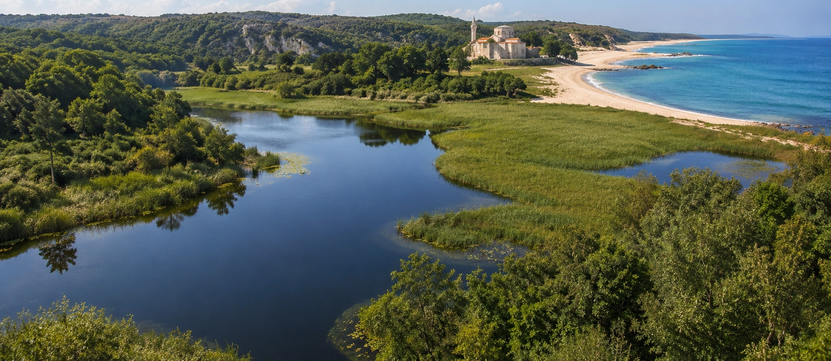
Continue from Aşağıpınar into Kırklareli for museums, Ottoman monuments, historic neighborhoods, regional cuisine and the wider cultural heritage of Thrace.
View Kırklareli GuideCombine Kırklareli's prehistoric heritage with ancient towns, Byzantine monuments, caves, forests and the Black Sea coast.
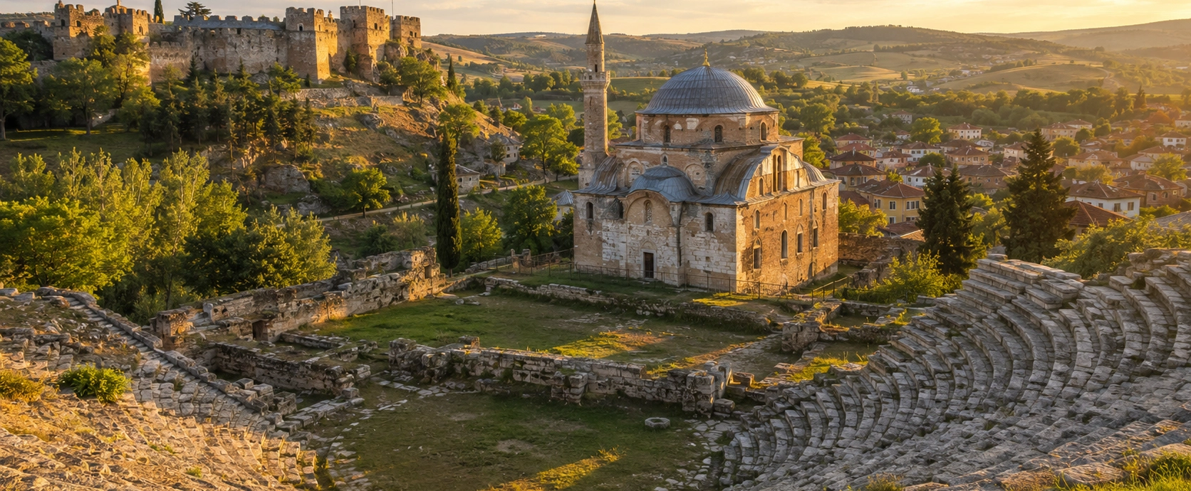
Continue to one of Thrace's most historic towns for its ancient theatre, Byzantine monuments, fortifications and Ottoman heritage.
Explore Vize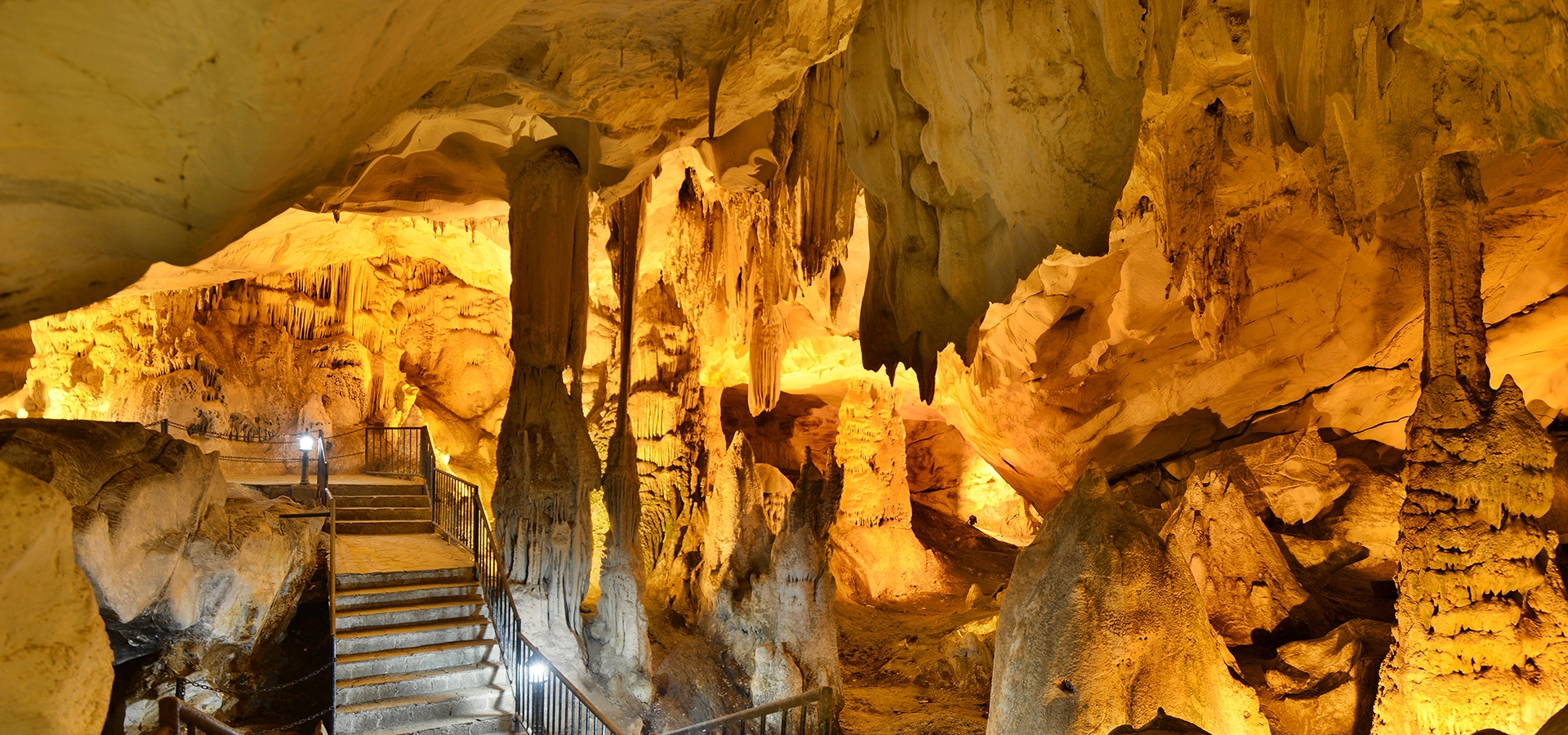
Travel into the Istranca Mountains for underground rivers, dramatic formations and one of Thrace's most remarkable natural environments.
Discover Dupnisa Cave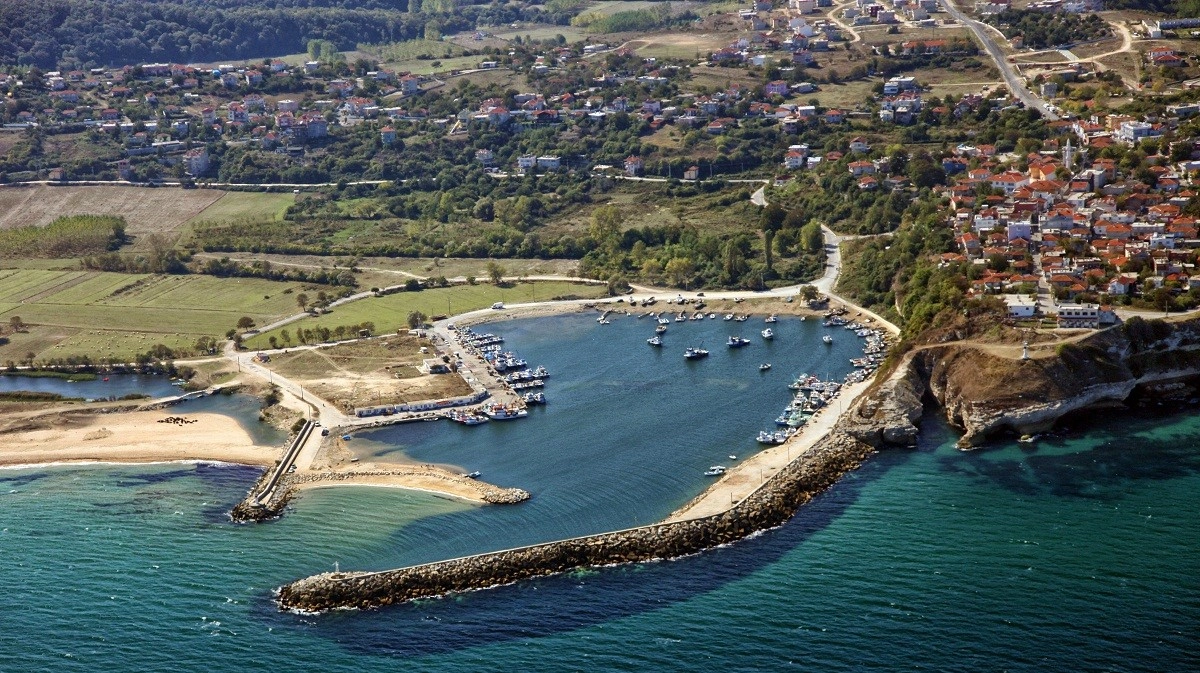
Continue through the forests of eastern Kırklareli to Byzantine Kıyıköy, its river valleys and the Black Sea coast.
Explore Kıyıköy