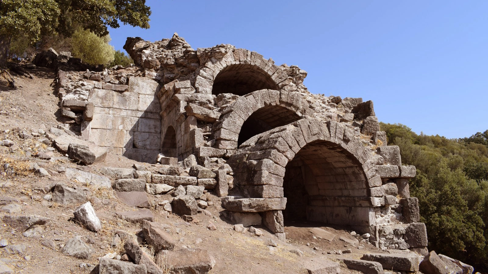
Private Kyme Ancient City Tour
Discover Kyme's ancient harbor, civic center, religious landscape and extraordinary role within ancient Aiolis with a private historical experience.
Request a Private Tour





On the coast of present-day Aliağa in northern İzmir, the ruins of Kyme preserve the story of one of the most important cities of the ancient northern Aegean.
Known as Kyme, Cyme or Kyme Phrikonis in ancient sources, the city belonged to Aiolis, the historic region stretching across the northern İzmir coast and toward the island of Lesbos.
The ancient geographer Strabo described Kyme as the largest of the Aeolian cities, a position that reflects both its size and its importance within the wider region.
Kyme developed between two low hills beside Nemrut Bay, with its urban center opening toward the sea. Its position combined fertile agricultural territory with direct access to Aegean maritime routes.
Over many centuries the city contained harbors, an agora, a theatre, sanctuaries, fortifications, residential areas, roads, water systems and extensive necropoleis.
Today Kyme is especially fascinating because its ancient maritime landscape survives within one of Türkiye's most active modern port and industrial regions.
This contrast makes Kyme unlike almost any other archaeological landscape around İzmir: an ancient commercial port remains visible beside a coast that is still economically defined by shipping and maritime infrastructure.
Ancient writers remembered Kyme as the largest and one of the most important cities of the Aeolian world.
Kyme's position beside the Aegean supported maritime trade, naval activity and contact with the wider Mediterranean.
Explore the remains of civic buildings, sanctuaries, residential areas, fortifications and extensive ancient cemeteries.
Experience one of northern İzmir's most striking contrasts between archaeological heritage and a working modern port landscape.
Essential information for understanding one of the most significant ancient cities of northern İzmir.
Near Nemrut Bay in the Aliağa district of İzmir Province on Türkiye's northern Aegean coast.
Open on Google MapsAiolis, the historic Aeolian territory between the northern İzmir coast, western Anatolia and Lesbos.
A major ancient city and maritime center supported by harbors, agriculture and regional trade.
Kyme, Cyme or Kyme Phrikonis, also described by Herodotus as Phriconian Cyme.
Harbors, agora, theatre, temples, fortifications, residential areas, roads and numerous necropoleis.
The archaeological landscape preserves evidence extending from the early first millennium BCE through Roman and Byzantine times.
Kyme offers something very different from Türkiye's heavily restored archaeological parks: the chance to understand an ancient city through its geography, harbors and surviving archaeological landscape.
Kyme does not immediately overwhelm visitors with monumental marble streets or reconstructed temples.
Instead, its importance becomes clearer when you understand where the city stands and why it developed here.
Two hills rise above a sheltered section of coastline. Between them lies lower ground opening directly toward the ancient harbor zone. Behind the coast are agricultural plains and routes leading deeper into western Anatolia.
These natural advantages helped transform Kyme into one of the principal cities of Aiolis.
Its citizens could cultivate the surrounding territory, control productive land, use maritime routes and maintain connections with other Aegean communities.
For travelers interested in historical geography, ancient economies, harbors, archaeology and the relationship between cities and landscapes, Kyme is one of northern İzmir's most rewarding sites.
Its modern surroundings add another dimension. The ancient city now stands within a dramatically transformed coastal zone dominated by ports and industry.
The setting is not conventionally picturesque, but historically it is extraordinarily revealing.
To understand Kyme, you first need to understand Aiolis.
Aiolis was not a modern political province with fixed administrative borders. It was a historical and cultural region associated with communities traditionally identified as Aeolian Greeks.
Its mainland cities occupied the northern part of western Anatolia, roughly between the Hermos — modern Gediz — and Kaikos — modern Bakırçay — regions, while the island of Lesbos formed another major center of Aeolian culture.
Ancient authors listed a group of Aeolian cities including Kyme, Myrina, Gryneion, Aigai, Larisa, Temnos, Pitane and others.
Among them, Kyme developed into the strongest urban center on this part of the coast.
Strabo described it as the largest and best of the Aeolian cities and treated Kyme and Lesbos as leading centers of the wider Aeolian world.
This status was closely connected with geography. Kyme possessed access to both productive agricultural territory and the Aegean Sea.
The combination allowed the city to participate simultaneously in inland agriculture, coastal exchange and long-distance maritime networks.
Kyme belonged to the cultural geography of Aiolis rather than neighboring Ionia farther south.
Ancient sources present Kyme as one of the leading cities of the Aeolian world.
The sea connected the city with Lesbos, other Anatolian ports and wider Mediterranean trade routes.
Fertile land behind the coast supplied the city with agricultural resources and economic strength.
Myrina, Gryneion, Larisa, Aigai and other settlements formed part of the wider regional network.
The coast around Kyme lay close to the historical transition between Aeolian and Ionian cultural territories.
The exact beginning of Kyme cannot be reduced to a single secure foundation date.
Like many early Greek cities of western Anatolia, its origins are preserved through a mixture of archaeological evidence, migration traditions and stories recorded by ancient authors.
Strabo connected the foundation of Kyme with Aeolian migration from mainland Greece.
According to the traditional story, groups associated with the mountain of Phrikion in Lokris eventually crossed into Anatolia and established Kyme.
This tradition explains the ancient designation Kyme Phrikonis or Phriconian Cyme.
Other ancient traditions linked the city's name with an Amazon named Kyme, part of a broader mythological pattern in which several western Anatolian cities were associated with legendary Amazon founders.
Archaeology provides a more cautious picture. Material remains demonstrate occupation and growing urban activity during the early first millennium BCE, with the city developing progressively rather than appearing as a single completed settlement at one moment.
Kyme's history extends across many of the major political transformations of western Anatolia.
During the Archaic period, the city developed as an important coastal center supported by agriculture, craft production and maritime exchange.
Its economic strength is reflected in its coinage, harbor infrastructure and the increasing complexity of its urban landscape.
Like other western Anatolian cities, Kyme eventually became involved in the political world of the Lydian and Achaemenid Persian empires.
During the fourth century BCE, the city participated in the shifting alliances, territorial disputes and diplomatic struggles that affected the Aegean coast.
After the campaigns of Alexander the Great, Kyme entered the unstable political environment of the Hellenistic kingdoms.
Control passed through the spheres of competing successors, including Antigonid, Lysimachid and Seleucid powers, before the rise of Pergamon transformed the regional political balance.
During the Roman period, Kyme continued as an important city of western Asia Minor.
A major earthquake in 17 CE damaged numerous cities of western Anatolia, including Kyme. Imperial assistance under Tiberius contributed to regional recovery.
Christianity later reshaped the religious identity of the city, and Kyme became associated with an episcopal center during the Byzantine period.
Settlement continued through Late Antiquity and into the medieval period, when defensive architecture became increasingly important around the former harbor zone.
Kyme developed around a highly distinctive natural setting.
The ancient settlement occupied two approximately parallel hills commonly described as the northern and southern hills.
Between them, a lower central zone opened westward toward the sea and the ancient harbor.
This central area was particularly suitable for civic, commercial and public architecture.
Archaeological work has identified structures associated with the agora, stoas, religious buildings, roads and other elements of the city's civic center.
The hills themselves contained different phases of settlement, sanctuaries and defensive structures.
Residential occupation spread through parts of the city, while necropoleis developed outside the main urban core along routes, slopes and areas surrounding the settlement.
Understanding this topography is essential. Kyme was not simply a collection of buildings.
It was an organized coastal city whose hills, harbors, roads, public spaces and cemeteries formed one interconnected landscape.
One of the two principal elevated zones defining the ancient settlement and its sacred and defensive landscape.
An important settlement area preserving evidence for changing patterns of occupation over many centuries.
The lower zone between the hills opened toward the harbor and contained important civic architecture.
The commercial and civic heart of the ancient city developed close to the maritime center.
Kyme's relationship with the sea shaped both its physical plan and its economic development.
Extensive burial grounds surrounded the city beyond the main inhabited areas.
Kyme's greatest geographical advantage was its relationship with the sea.
Archaeological investigations have identified two ancient harbor areas, one to the north and another to the south.
The larger southern harbor included substantial maritime construction, with sections of ancient breakwater extending into what is now the modern coastal zone.
These installations reveal the scale of Kyme's involvement with maritime activity.
Ships arriving here could unload goods, collect agricultural products, transport passengers and connect the city with communities throughout the Aegean.
The harbor was therefore not simply a place where boats were anchored.
It was one of the engines of the city's economy.
Agricultural products from the hinterland could be exported, while imported goods, ceramics, raw materials and ideas entered the city through maritime exchange.
The same coast remains economically important today, although on a radically different industrial scale.
This extraordinary continuity of maritime geography is one of the reasons Kyme is such a compelling place for understanding the relationship between landscape and economic history.
Archaeological research has identified northern and southern maritime installations associated with the ancient city.
Ancient engineering helped create more protected spaces for ships along the exposed Aegean shoreline.
The harbor connected Kyme with islands, neighboring Anatolian cities and longer-distance Mediterranean routes.
The fertile hinterland gave Kyme products that could be moved through the port economy.
Access to sheltered maritime space increased the political as well as economic value of the city.
Ancient maritime remains now survive within a coast still dominated by shipping and port infrastructure.
Between Kyme's principal hills and close to the harbor developed the civic center of the ancient city.
The agora was far more than an open marketplace.
In Greek and Roman cities, agoras functioned as places of commerce, politics, public administration, social interaction and civic ceremony.
Archaeological work at Kyme has revealed architectural remains connected with the agora and surrounding public buildings.
Stoas — long colonnaded buildings — created sheltered spaces along important public areas, while other structures supported commercial, administrative and ceremonial activities.
The position of the civic center close to the sea reflects Kyme's maritime identity.
Goods, people and information arriving through the harbor could move quickly into the commercial and political heart of the city.
Among the important public monuments identified at Kyme is its ancient theatre.
Theatres were essential elements of Greek and Roman civic culture.
They hosted dramatic performances, musical events, religious celebrations and, depending on period and local practice, other forms of public gathering.
The theatre of Kyme should therefore be understood as part of a broader civic environment rather than simply as a place for entertainment.
Its presence demonstrates the scale and urban sophistication reached by the city.
Today the theatre is not presented in the highly restored form familiar from sites such as Ephesus or Aspendos.
Its archaeological value instead comes from its relationship with the wider urban landscape of Kyme.
Religion formed part of nearly every aspect of ancient civic life.
Archaeological research at Kyme has identified structures and finds associated with multiple sacred traditions.
Among the important discoveries are religious structures connected with female divinities and cult traditions, including a sanctuary area on the northern hill interpreted through evidence associated with Kybele, Kourotrophos and Isis.
A small temple dating to the later Hellenistic period has also been identified within the urban landscape.
Terracotta figurines discovered in necropoleis and other contexts provide further evidence for the religious world of the inhabitants.
Representations associated with Aphrodite, Kourotrophos, Hades and Persephone, Silenos and other divine or mythological figures demonstrate a religious environment connected with the broader cultural networks of the Aegean.
Ancient literary traditions also refer to cults whose architectural remains have not necessarily been securely identified in the excavated areas.
For this reason, it is important to distinguish between what ancient texts describe and what archaeology has physically confirmed.
Evidence from the northern hill has been associated with the worship of the Anatolian mother goddess tradition.
Religious imagery connected with nurturing and protection appears among the archaeological finds of Kyme.
The presence of cult evidence associated with Isis reflects the increasingly interconnected religious world of the Hellenistic and Roman Mediterranean.
Small clay figures provide valuable evidence for religious belief, ritual practice and burial customs.
Not every act of worship took place inside monumental temples; domestic and funerary contexts also reveal religious practice.
Sanctuaries, cemeteries and public buildings together formed the spiritual geography of the ancient city.
Some of the richest archaeological information from Kyme comes not from its monumental public center, but from the necropoleis surrounding the city.
Ancient burial grounds have been identified across several areas around Kyme, especially on hills and slopes outside the principal settlement.
Some cemeteries were located near ancient roads, while others occupied land that was less suitable for agriculture.
Excavations and rescue archaeology have uncovered many different types of graves.
These discoveries reveal changing funerary traditions across a long period extending from the early phases of the city into Late Antiquity.
Burials contained pottery, personal objects, terracotta figurines and other grave offerings that provide unusually intimate evidence about the people who lived in Kyme.
Archaeologists can use these objects to study age, gender, belief, social identity, craft production, trade and changing ideas about death.
The necropoleis therefore transform our understanding of Kyme.
They allow us to move beyond kings, wars and public buildings and begin reconstructing the lives of individual inhabitants.
Rescue excavations have uncovered graves, terracotta sarcophagi and important figurine assemblages east of the city.
Several burial areas have been identified on the hills and routes south of the main settlement.
Classical and Hellenistic graves provide evidence for burial practices close to the maritime landscape.
Clay coffins and other burial forms demonstrate the variety of funerary customs practiced at Kyme.
Pottery, figurines and personal objects help archaeologists reconstruct belief and social identity.
The cemeteries preserve evidence spanning many centuries of occupation and cultural change.
Among the most revealing finds from Kyme are its terracotta figurines.
These small fired-clay objects appear in burial contexts and other archaeological settings.
They depict a wide range of subjects, including deities, women, children, mythological figures, animals and ritual imagery.
Some were probably produced locally, while others reflect artistic ideas circulating across western Anatolia and the wider Aegean.
Because figurines were inexpensive compared with monumental sculpture, they provide evidence for aspects of religion and daily life that are often missing from elite public architecture.
Their presence in graves can also illuminate ancient attitudes toward protection, identity, family and the afterlife.
The figurines demonstrate an important principle of archaeology: the smallest discoveries can sometimes tell us more about ordinary people than the largest monuments.
Kyme's prosperity depended on the interaction between land and sea.
The agricultural territory behind the city provided access to productive land, while the harbor connected that hinterland with maritime markets.
Grain, wine, olive products and other regional goods could move toward the coast, while imported objects and materials traveled in the opposite direction.
The city also issued its own coinage, one of the clearest symbols of civic identity in the ancient Greek world.
Coins were not simply money.
Their designs communicated the identity, religion, political traditions and visual symbols chosen by the community that produced them.
Kyme's economic life also depended on craftspeople, merchants, sailors, farmers, laborers and the networks that connected surrounding settlements with the city.
The fertile hinterland behind Kyme provided resources that supported urban population and trade.
The harbor allowed agricultural and manufactured goods to enter wider Aegean exchange networks.
Kyme issued coins carrying civic imagery and symbols of the city's political identity.
Ceramics, terracottas and other archaeological finds reveal specialized production and regional artistic connections.
Transport vessels provide evidence for the movement of commodities through ancient maritime trade.
Harbor facilities linked the economic life of the city directly with the wider Aegean world.
Kyme did not disappear when the Hellenistic world gave way to Roman rule.
The city continued to evolve, and older public spaces were adapted to the political, economic and architectural realities of the Roman Empire.
In 17 CE, a destructive earthquake affected a number of cities in western Asia Minor.
Kyme was among the communities associated with imperial assistance during the reign of Tiberius.
Centuries later, the spread of Christianity transformed the city's religious landscape.
Kyme became part of the ecclesiastical geography of Byzantine western Anatolia, and Christian occupation continued through Late Antiquity.
Archaeological evidence demonstrates that sections of the city remained active into the early medieval centuries.
A later Byzantine fortification near the harbor reflects a world in which security and control of the coast had become increasingly important.
The medieval history of the site reminds visitors that Kyme was never frozen in the Classical period.
Each generation reused, adapted and reinterpreted the city that previous generations had left behind.
Interest in Kyme extends back centuries.
Early travelers and antiquarians attempted to identify the location of the ancient city by comparing surviving ruins with descriptions in classical literature.
The site was identified by early western travelers during the late medieval and early modern periods, and archaeological investigation became more systematic during the nineteenth century.
One of the earliest excavations was conducted in 1874 by Demosthenes Baltazzi, a significant figure in the early archaeology of western Anatolia.
Later research expanded dramatically, with Turkish and international archaeological teams investigating different sectors of the city.
Excavations have examined the harbor, agora, theatre, sanctuaries, fortifications, residential areas, Byzantine structures and surrounding necropoleis.
Rescue excavations have become particularly important because parts of the wider archaeological landscape lie within areas affected by modern industrial, road and port development.
These projects have revealed burial grounds and settlement evidence that might otherwise have disappeared without documentation.
Kyme should not be approached with the expectation of walking through a completely excavated monumental city.
Much of its value lies in archaeological context rather than reconstruction.
Depending on current excavation, conservation and access conditions, the broader site preserves evidence connected with several important elements of the ancient city.
Maritime structures and the coastline help visitors understand why Kyme developed into an important trading city.
The civic center reflects the commercial, political and social organization of the ancient city.
Colonnaded public architecture once created sheltered civic and commercial spaces around important urban areas.
Remains of the ancient performance building demonstrate the scale of public life at Kyme.
Religious structures and cult finds reveal the spiritual world of the city's inhabitants.
Defensive remains document changing security needs across different periods of the city's history.
Excavations have provided evidence for domestic occupation and the everyday organization of the settlement.
Ancient cemeteries surrounding the city have produced some of Kyme's most informative archaeological discoveries.
A later fortified structure near the harbor demonstrates the continuing strategic importance of the coastline.
Few archaeological sites illustrate the tension between cultural heritage and modern economic development as clearly as Kyme.
The city lies within the heavily industrialized coastal landscape of Aliağa, one of Türkiye's important centers for port activity, energy and manufacturing.
Industrial development around Nemrut Bay expanded dramatically during the twentieth century.
As a result, the archaeological zone became increasingly surrounded by roads, terminals, industrial facilities and modern infrastructure.
This environment presents obvious conservation challenges.
At the same time, it creates a remarkable historical comparison.
Kyme originally became important because this coastline offered maritime access, harbor potential and connections between inland production and sea transport.
Thousands of years later, many of the same geographic advantages continue to give the coast economic value.
Ancient and modern industry should not be treated as equivalent.
But the continued importance of this location demonstrates how geography can shape human settlement repeatedly across completely different historical periods.
Kyme is best suited to travelers who enjoy archaeology beyond the classic monumental tourism circuit.
The site requires more imagination than places such as Ephesus, Pergamon or Aphrodisias.
Rather than following one polished visitor route, you are encountering a research landscape shaped by archaeology, conservation and surrounding modern land use.
Access to individual sectors can change according to excavation work, archaeological protection, industrial security, private property or conservation requirements.
For that reason, current access should always be confirmed before traveling specifically to Kyme.
A knowledgeable guide can add considerable value because many remains are difficult to interpret without archaeological context.
Do not assume that every archaeological sector visible on a map can be freely entered.
Expect uneven archaeological ground, dry vegetation, loose stone and exposed terrain.
Visitor facilities may be limited and much of the archaeological landscape is exposed to the sun.
Historical explanation makes the harbor, urban plan and low archaeological remains significantly easier to understand.
Kyme rewards slow observation rather than rushing through in search of one famous monument.
Never move pottery fragments, climb walls or enter active excavation zones.
Kyme lies in the Aliağa district of İzmir, near the modern industrial and port landscape around Nemrut Bay.
Central Aliağa can be reached from İzmir by road and by the İZBAN suburban railway.
However, the archaeological area itself is outside the central urban district.
A private vehicle is therefore the most practical option for travelers specifically visiting Kyme.
Driving also makes it easier to combine the site with other historical destinations in northern İzmir, including Aliağa, Foça and the wider northern Aegean coast.
One of the best seasons for archaeology thanks to green landscapes, wildflowers and comfortable walking temperatures.
Long daylight hours are useful, but begin early before exposed archaeological terrain becomes too hot.
Expect strong sun and limited shade. Morning visits are considerably more comfortable than midday exploration.
Warm temperatures and softer light make autumn excellent for combining archaeology with the northern Aegean coast.
The site is quieter, although rain, wind and muddy ground can affect archaeological access.
Early morning and late afternoon provide the best light for revealing low walls, stone textures and the coastal setting.
Kyme offers a very different visual experience from Türkiye's highly restored archaeological sites.
The most powerful images often come from showing archaeology in context.
Low ancient walls, open landscape, harbor remains and the surrounding coastline can be photographed together to reveal how the city once related to the sea.
Morning and evening light is especially useful because low sunlight creates shadows that make subtle archaeological features easier to see.
Wide compositions can also communicate the unusual relationship between the ancient site and the modern port landscape surrounding it.
However, the presence of active industrial facilities means photographers must be particularly careful about access and security regulations.
Early and late sunlight creates stronger definition across archaeological walls and uneven ground.
Wide compositions help explain Kyme's relationship with its hills, harbor and coastline.
Stone construction, pottery, architectural fragments and vegetation can create quieter archaeological images.
Never reposition pottery or architectural fragments simply to improve a photograph.
Do not enter port, industrial or active archaeological zones in search of better camera angles.
Tripods, drones or professional equipment may be subject to additional regulations and permissions.
Kyme survives because generations of archaeologists, heritage professionals and local institutions have worked to document and protect what remains.
Visitors can help preserve the site through very simple choices.
Pottery fragments, stones, shells and other archaeological material must remain exactly where they are found.
Ancient masonry can be unstable and damage may be irreversible.
Restricted sectors may contain active excavation trenches, fragile structures or safety hazards.
Archaeological boundaries and modern property boundaries do not always follow the same lines.
Kyme's unusual industrial surroundings require particular attention to signs, checkpoints and photography restrictions.
Carry rubbish away and avoid disturbing vegetation or archaeological surfaces.
Kyme works best as the historical center of a broader day exploring ancient Aiolis and northern İzmir.
Begin in the morning at Kyme, when temperatures are cooler and low sunlight makes the archaeological landscape easier to read.
Spend time understanding the relationship between the hills, civic center and ancient harbor rather than rushing between individual ruins.
After the archaeological visit, continue into Aliağa for lunch or explore the wider coastal landscape.
The afternoon can then continue toward Myrina and Gryneion for a deeper exploration of Aiolis, or toward Foça for ancient Phokaia, historic streets and an Aegean waterfront.
Kyme stands at the center of an unusually rich network of archaeological, coastal and cultural destinations.
Explore the wider district of ancient cities, wetlands, beaches and rural landscapes surrounding Kyme.
Continue north to another Aeolian port city famous for its extensive necropolis and Hellenistic terracotta figurines.
Discover the sacred landscape associated with an important ancient sanctuary and oracle of Apollo.
Continue to one of the great maritime cities of ancient Ionia and one of northern İzmir's most atmospheric coastal towns.
Explore the extraordinary Taş Kule monument and the Persian-period landscape between Kyme and ancient Phokaia.
Combine archaeology with beaches, historic streets and a quieter waterfront atmosphere.
Travel into the Yunt Mountains to one of Aiolis' most spectacular mountain cities.
Move from ancient archaeological landscapes into one of İzmir's best-known living ceramic traditions.
At first glance, Kyme may appear quieter than Türkiye's monumental archaeological cities.
There is no Library of Celsus, no enormous restored temple and no single structure that dominates every photograph.
But Kyme tells another kind of story.
It explains why cities grow where they do.
The inhabitants chose this coast because it offered a connection between fertile land and the sea.
The hills provided defensible ground.
The coastline provided harbors.
The hinterland produced agricultural wealth.
Sea routes connected the city with the Aegean world.
Those geographic advantages helped Kyme grow into one of the principal cities of Aiolis.
Centuries passed. Empires changed. Religions changed. Buildings collapsed. Harbors were altered.
Yet the coast remained economically valuable.
Modern Aliağa developed for completely different technological and industrial reasons, but maritime geography again shaped the region's future.
That is what makes Kyme so important.
It is not only the story of an ancient city.
It is the story of how geography, trade, politics and human settlement can interact on the same coastline for thousands of years.
Kyme is located near Nemrut Bay in the Aliağa district of İzmir Province on Türkiye's northern Aegean coast.
Kyme was one of the principal cities of ancient Aiolis and developed into an important agricultural, commercial and maritime center.
Yes. Kyme is the transliteration commonly used from Greek, while Cyme is the traditional Latinized spelling often found in older English-language sources.
The name reflects an ancient foundation tradition linking the city's Aeolian settlers with Mount Phrikion in mainland Greece.
Yes. Kyme belonged to ancient Aiolis and was counted among the major Aeolian cities of western Anatolia.
Its coastal location, harbors and productive agricultural hinterland allowed Kyme to develop significant regional and maritime influence.
The ancient geographer Strabo described Kyme as the largest and best of the Aeolian cities and treated it as one of the leading centers of the region.
There is no single securely established foundation year. Ancient traditions connect Kyme with the Aeolian migrations, while archaeological evidence shows development during the early first millennium BCE.
Ancient mythological traditions connected several western Anatolian cities with Amazons, and one tradition associated Kyme's name with an Amazon called Kyme. This should be understood as mythology rather than documented historical foundation.
Yes. Maritime installations were fundamental to the city, and archaeological research has identified two ancient harbor areas.
It connected Kyme's agricultural hinterland with Aegean trade routes and supported commercial, political and maritime activity.
The wider archaeological landscape contains remains associated with harbors, an agora, stoas, a theatre, sanctuaries, fortifications, residential areas, necropoleis and Byzantine occupation.
Yes. An ancient theatre formed part of the city's public architectural landscape.
The agora was the civic and commercial center where political, economic and social activities took place.
Archaeological evidence reflects a diverse ancient religious landscape, including cult traditions associated with female divinities and other Greek, Anatolian and later Mediterranean religious influences.
They are the extensive ancient burial grounds surrounding the city. Excavations have uncovered many graves, funerary objects and terracotta figurines.
They provide evidence for ancient religion, art, burial customs, craft production and aspects of everyday social identity.
Yes. Kyme issued its own coinage, reflecting the civic identity and economic activity of the ancient city.
Like much of western Anatolia, Kyme existed within the changing political environment of Achaemenid Persian influence and control before Alexander's campaigns.
Kyme entered the Macedonian political world during Alexander's campaigns in western Anatolia and later passed through the competing Hellenistic kingdoms created after his death.
Yes. Kyme continued to function under Roman rule and remained part of the urban landscape of western Asia Minor.
Yes. Kyme was among the western Anatolian cities affected by the major earthquake of 17 CE during the reign of Emperor Tiberius.
Yes. Settlement continued during Late Antiquity and Byzantine times, and later defensive structures demonstrate the continuing importance of the coastal position.
Yes. A later fortified structure near the harbor belongs to the medieval phase of occupation at the site.
Early archaeological interest extends much further back, while one of the first formal excavations was conducted by Demosthenes Baltazzi in 1874.
No. Kyme is a large and complex archaeological landscape, and only parts of the ancient settlement and surrounding cemeteries have been excavated.
Access conditions can change because of archaeological work, conservation, private property and the surrounding industrial and port environment. Check current conditions before planning a dedicated visit.
A guide is not essential, but it can make the experience much more rewarding because many remains require archaeological context to understand.
Allow at least one to two hours for a focused archaeological visit, with more time if you are exploring the wider Aiolian landscape.
Wear sturdy walking shoes, sun protection and clothing suitable for exposed archaeological terrain.
No. All archaeological material, including small pottery fragments, must remain exactly where it is found.
Photography of archaeological areas may be possible, but visitors must respect restrictions around excavations, private land and nearby industrial or port facilities.
Spring and autumn provide the most comfortable conditions for archaeological exploration. During summer, early morning is preferable because shade is limited.
Yes. See our Aliağa guide for the wider district, including Myrina, Gryneion, wetlands, beaches and rural landscapes.
Yes. Kyme and Old Foça create an excellent route comparing the Aeolian city of Kyme with ancient Ionian Phokaia.
Nearby archaeological landscapes include Myrina, Gryneion, Aigai, Larisa, Phokaia and, farther north, Pergamon.
Yes for travelers interested in archaeology, ancient ports, Aiolian history and lesser-known historical landscapes. It is especially rewarding for visitors who enjoy understanding ancient cities through geography rather than monumental reconstruction alone.
Explore Kyme and the ancient landscapes of northern İzmir with private, flexible experiences focused on archaeology, history and local context without compulsory shopping stops.
Explore the great Aeolian port, its urban landscape and the coastline that shaped one of ancient Aiolis' most important cities.
Discover Kyme's ancient harbor, civic center, religious landscape and extraordinary role within ancient Aiolis with a private historical experience.
Request a Private Tour
Follow the relationship between city, agricultural hinterland and sea to understand why Kyme became one of the leading centers of the Aeolian world.
Create Your Archaeology DayContinue beyond Kyme to the surrounding cities and sacred landscapes of northern İzmir.
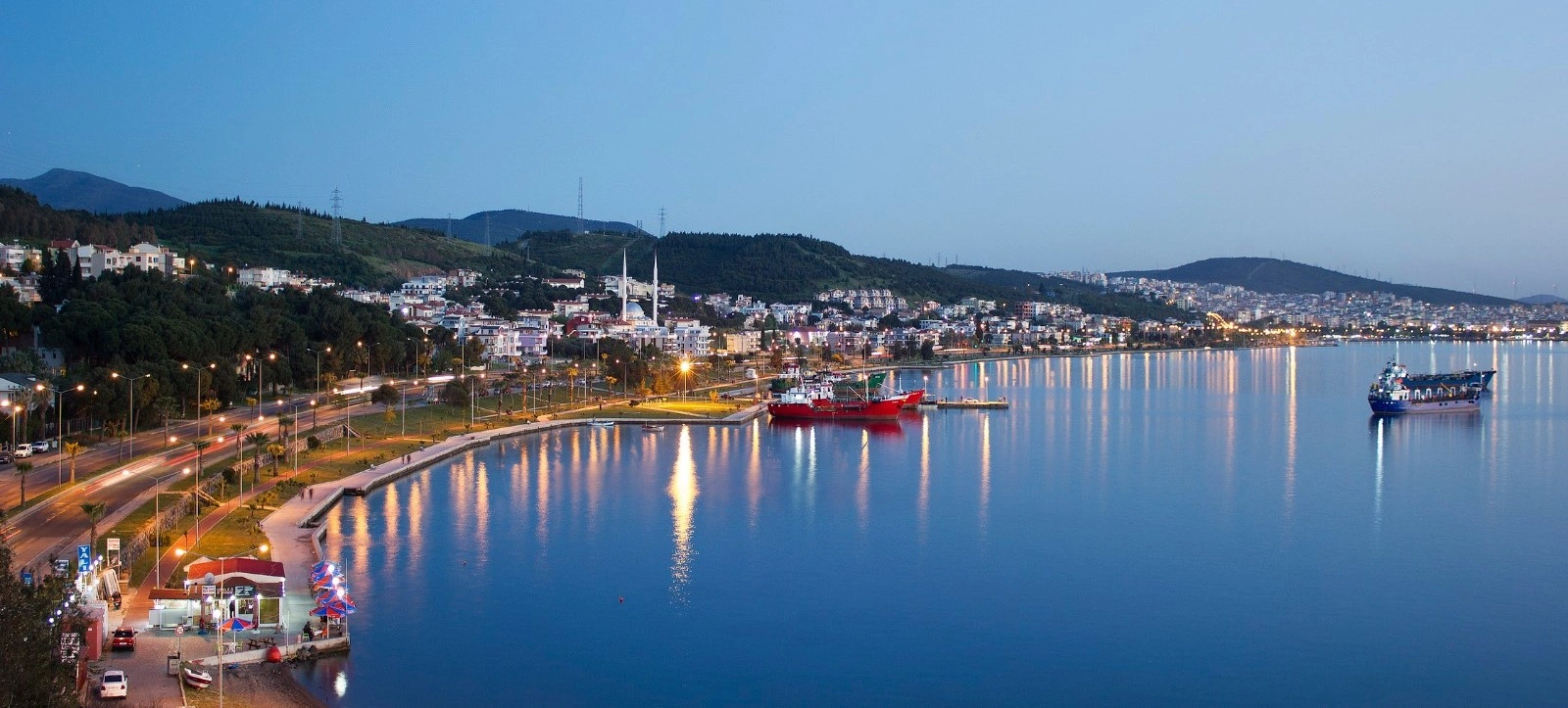
Explore three very different Aeolian landscapes: Kyme's great port, Myrina's archaeological necropoleis and the sacred world of Apollo at Gryneion.
Plan Your Ancient Aiolis Route
Discover the wider district surrounding Kyme, from ancient cities and wetlands to villages, beaches and the northern Aegean coast.
Explore AliağaCompare two great ancient maritime traditions: Aeolian Kyme and Ionian Phokaia.
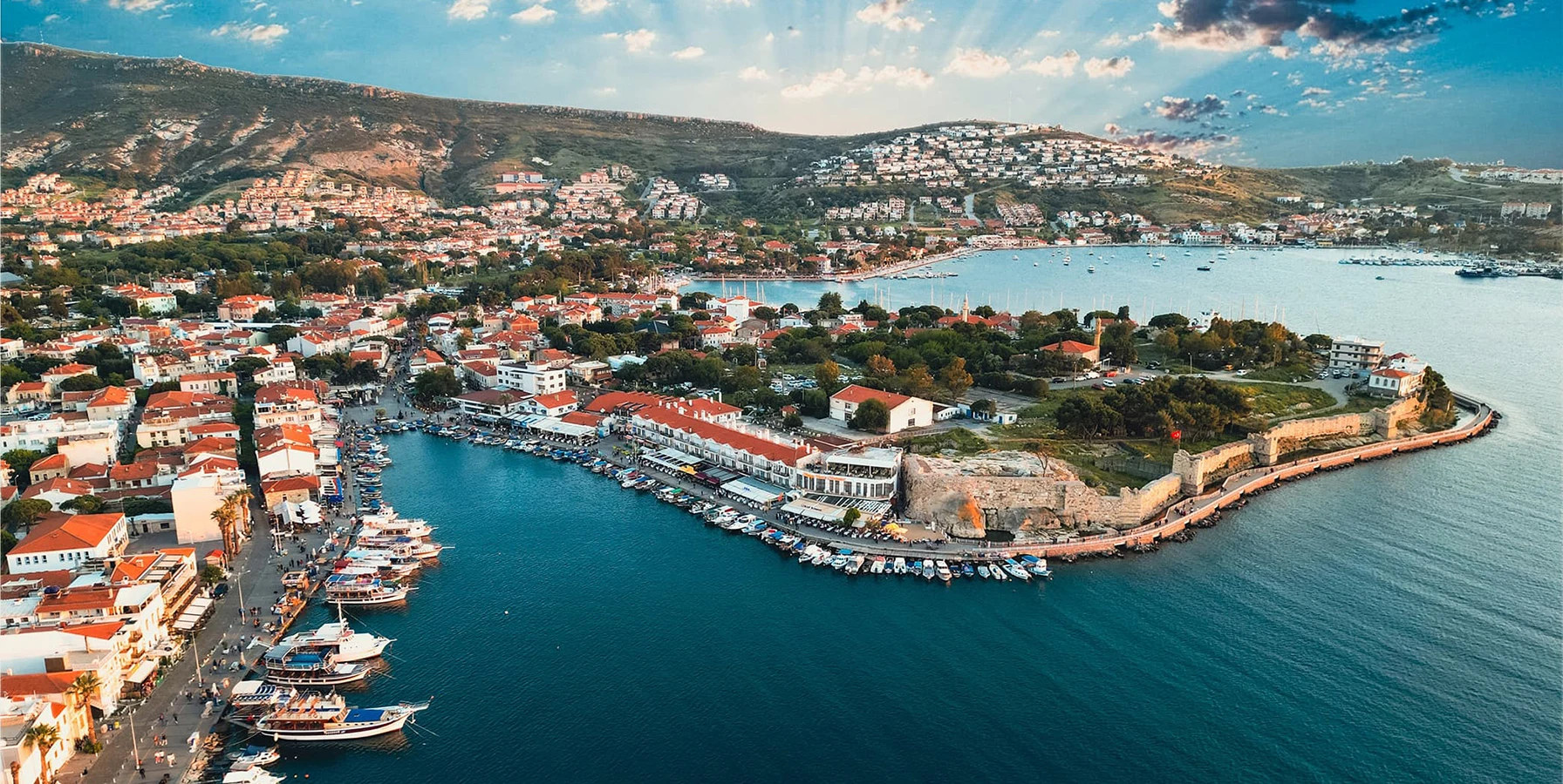
Continue south-west from Kyme to one of the ancient Mediterranean's great maritime cities and the beautiful historic harbor of Old Foça.
Explore Old Foça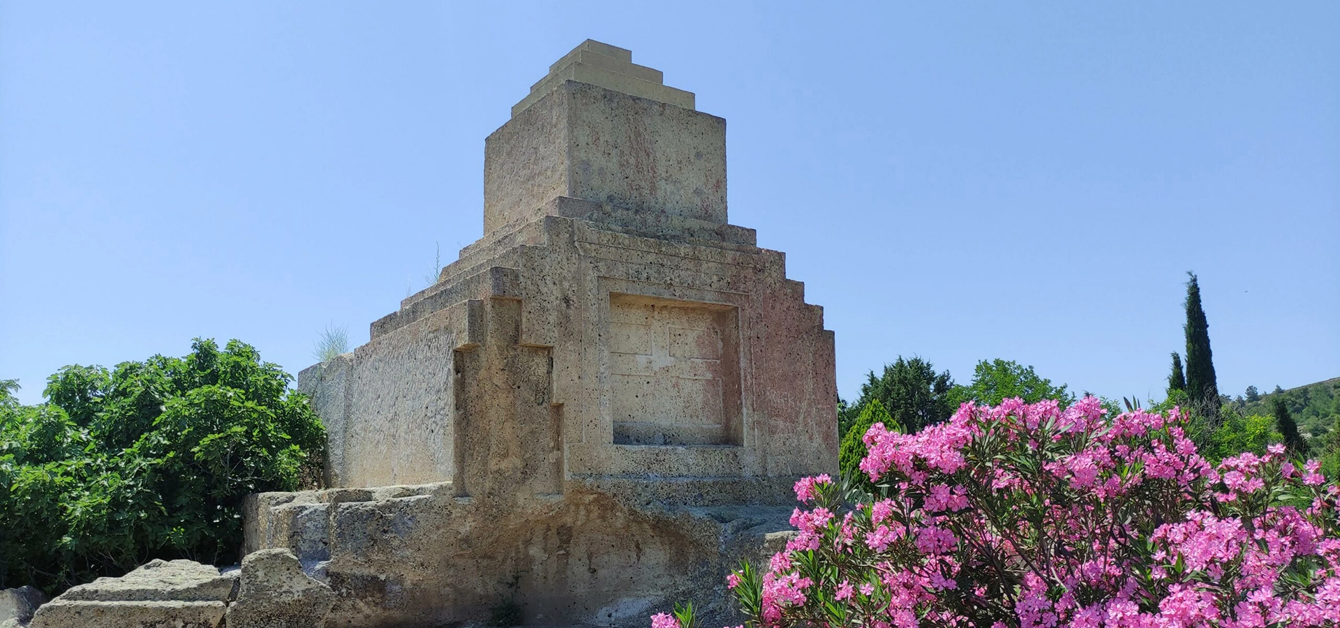
Add one of northern İzmir's most unusual archaeological monuments to a route exploring the Persian-period landscape around Kyme and Phokaia.
Explore Taş KuleCombine archaeology with living culture, craft traditions and the Aegean coast.
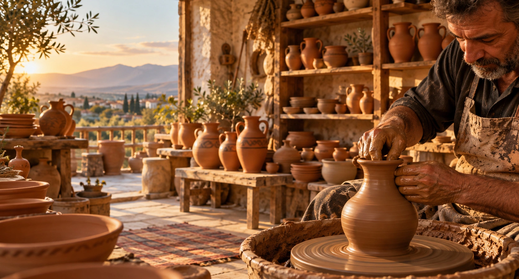
Move from the archaeological landscapes of ancient Aiolis into one of İzmir's best-known living pottery traditions.
Explore Menemen Pottery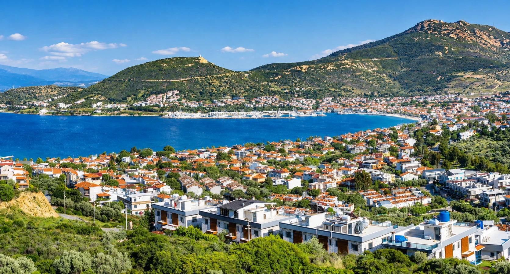
Finish an archaeology-focused day beside the Aegean with beaches, historic residential streets and the relaxed waterfront atmosphere of Yeni Foça.
Explore New Foça