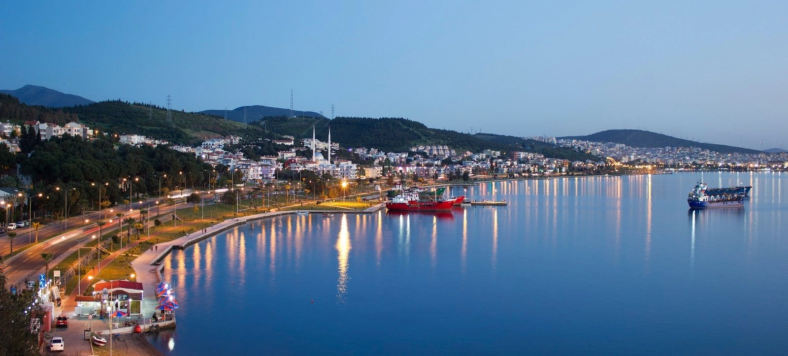
Private Ancient Aliağa Archaeology Tour
Explore the archaeological landscape of Kyme, Myrina and Gryneion with a private route focused on ancient Aiolis and northern İzmir history.
Request a Private Tour





Around 60 kilometers north of central İzmir, Aliağa occupies one of the most historically layered stretches of the northern Aegean coast.
Today the district is widely known as a major industrial and port center. Yet that modern identity sits on top of a much older landscape shaped by ancient harbors, Aeolian cities, wetlands, coastal settlements and agricultural villages.
Within and around the district are the remains of Kyme, Myrina and Gryneion — three important names from the ancient region of Aiolis.
Kyme developed into the largest of the traditional Aeolian cities. Myrina became famous for its extensive necropolis and Hellenistic terracotta figurines. Gryneion was celebrated in antiquity for a sanctuary and oracle of Apollo.
Beyond archaeology, Aliağa also offers Ağapark Beach, Yenişakran, the wetlands around the Güzelhisar Delta, rural villages, walking routes and access toward the wider northern Aegean.
Aliağa is therefore not a conventional resort destination. Its appeal lies in the contrast: ancient port cities beside a modern port district, quiet archaeological landscapes beside working industry, and coastal recreation beside wetlands and villages.
Explore the archaeological landscape of Kyme, Myrina and Gryneion, three important ancient centers associated with the Aeolian coast.
Discover the largest of the traditional Aeolian cities and one of the most important ancient ports of northern İzmir.
Combine archaeological exploration with beaches, the Güzelhisar Delta and the birdlife of Aliağa's coastal environment.
Use Aliağa as a link between Menemen, Foça, Bergama, Çandarlı and the broader landscapes of northern İzmir.
Essential information for planning a visit to one of northern İzmir's most historically layered districts.
Northern İzmir Province on Türkiye's Aegean coast, roughly 60 km north of central İzmir.
Open on Google MapsAliağa lies within the historic landscape of Aiolis, home to several important ancient settlements.
Kyme was the largest of the traditional Aeolian cities and developed around an important ancient harbor.
Kyme, Myrina and Gryneion form the district's strongest archaeological identity.
Coastal wetlands around the Güzelhisar Delta provide habitat for numerous resident and migratory bird species.
Aliağa is connected to İzmir by road and the İZBAN suburban rail network.
Aliağa rewards travelers who are interested in archaeology, coastal history, wetlands and places that sit outside the classic tourism circuit.
Aliağa does not present itself like Çeşme, Foça or another traditional Aegean holiday town.
Its modern skyline is shaped by ports, industry and energy infrastructure.
But look beyond that first impression and a much older geography appears.
For more than two thousand years, this coastline connected inland Anatolia with the Aegean Sea. Ancient communities built ports, sanctuaries, necropoleis, fortifications and settlements along the same bays and valleys that still define the district today.
The result is one of northern İzmir's strongest examples of historical continuity inside a dramatically transformed modern landscape.
A visit can move from the ruins of an ancient port into a wetland full of birdlife, then continue toward a beach, a village breakfast or the quieter coast around Yenişakran.
The history of Aliağa begins long before the modern town itself.
In antiquity, the surrounding coast formed part of Aiolis, a cultural and geographic region stretching across parts of western Anatolia and the nearby Aegean islands.
Ancient writers listed a group of Aeolian cities along this coast. Among the most important were Kyme, Myrina and Gryneion, all associated with the landscape of present-day Aliağa.
The region later passed through the political worlds of Lydia, Persia, the Hellenistic kingdoms, Rome and Byzantium. Its ports remained important because they connected agricultural hinterlands with maritime trade.
In the Ottoman period, the modern settlement developed much more modestly around an agricultural estate and village environment.
The twentieth century transformed Aliağa dramatically. Population increased, transport links expanded and large-scale industrial development turned the district into one of Türkiye's important production and port zones.
This modern transformation did not erase the ancient landscape. Instead, it created one of the district's most striking characteristics: archaeological sites now survive beside an intensely active contemporary economy.
To understand Aliağa, it helps to begin with Aiolis.
The term refers to an ancient cultural region of western Anatolia associated with communities traditionally described as Aeolian Greeks.
Unlike a modern province with fixed administrative borders, Aiolis was a historical and cultural landscape made up of individual city-states, rural territories, harbours and sanctuaries.
Its geography was especially favorable for settlement. The coast offered sheltered bays and access to maritime routes, while the valleys and plains behind the shore supported agriculture.
Aliağa sits directly inside this ancient environment.
Kyme developed into a major city and port. Myrina occupied another strategic coastal position farther north. Gryneion became famous for the sanctuary of Apollo that ancient authors considered one of the important religious centers of the region.
Traveling through Aliağa today therefore means moving through the physical geography of ancient Aiolis, even when the modern landscape looks completely different from the world that produced those cities.
Ancient settlements used natural bays and harbors to connect the northern Aegean with regional trade routes.
Plains and valleys behind the coast supported grain, vines, olives and other agricultural production.
Kyme, Myrina and neighboring centers possessed their own civic identities rather than functioning as one single city.
Sanctuaries such as the Apollo cult center at Gryneion gave the region religious significance beyond ordinary settlement.
The Aegean Sea linked this coast with islands, western Anatolia and the wider Mediterranean world.
Much of ancient Aiolis survives as archaeological landscapes rather than reconstructed monumental sites.
Of all the ancient sites associated with Aliağa, Kyme is the most important.
The city stood near the southern side of the Çandarlı Gulf, in the area of today's Nemrut Bay. Ancient and modern scholarship identifies Kyme as the largest of the traditional Aeolian cities.
Its location explains much of its success.
A protected coastal setting gave Kyme access to the sea, while fertile territory inland supported agriculture. Trade and farming therefore developed together.
The city became an important maritime center and produced its own coinage. Over the centuries, Kyme passed through Persian, Hellenistic, Roman and Byzantine political worlds.
Archaeological work has revealed remains connected with public buildings, urban streets, religious structures, fortifications, water systems and the ancient harbor zone.
One of the most powerful aspects of Kyme today is its setting. The ruins occupy a coast that remains economically important in the modern period. That contrast makes the site particularly revealing: an ancient trading port survives inside a landscape still defined by maritime infrastructure and commerce.
Kyme is generally identified as the largest and most important of the traditional Aeolian cities of this coast.
The city's maritime location supported trade and contact with the wider Aegean world.
The fertile hinterland behind the coast helped support the city's wealth and regional influence.
Kyme issued its own coins, demonstrating the civic identity and economic activity of the ancient city.
Settlement continued through Greek, Hellenistic, Roman and later periods.
Excavation and research have gradually revealed the urban and harbor landscape of ancient Kyme.
North of Kyme, near the mouth of the Güzelhisar watercourse, lay the ancient city of Myrina.
Ancient writers counted Myrina among the Aeolian cities of western Anatolia. Its coastal position allowed it to participate in the commercial and political networks of the Aegean.
Myrina is especially famous in archaeology because of its large necropolis. Excavations beginning in the nineteenth century uncovered thousands of graves and a remarkable quantity of terracotta figurines.
These small clay sculptures are among the most recognizable objects associated with the city. They represent deities, actors, women, children, animals and figures from daily life and mythology.
Many belong to the Hellenistic period and demonstrate the technical sophistication of terracotta workshops in the wider Aegean world.
The visible remains at Myrina are less monumental than those at famous sites such as Ephesus or Pergamon. Its importance is therefore easier to understand through landscape, archaeology and museum collections than through standing architecture alone.
Gryneion occupied another important place in the sacred geography of Aiolis.
The settlement itself was smaller than Kyme, but its fame came from the sanctuary of Apollo. Ancient writers described the sanctuary and its sacred grove as one of the notable religious centers of western Anatolia.
The cult site was associated with prophecy and consultation. Travelers and communities could seek divine guidance through Apollo, placing Gryneion within the wider network of oracular sanctuaries of the ancient Mediterranean.
Political change eventually reduced the city's independence. During the Hellenistic period, Gryneion became closely connected with Myrina, while the sanctuary remained the place for which the name was remembered.
Today the site requires imagination. Much of its significance comes from ancient texts, archaeological survey and the surviving landscape rather than monumental restoration.
For travelers interested in ancient religion, however, Gryneion adds an essential dimension to Aliağa: this coast was not only a commercial landscape but also a sacred one.
Gryneion was famous for a sanctuary dedicated to Apollo and remembered by ancient authors.
The sanctuary belonged to the ancient tradition of seeking divine guidance and prophecy.
Ancient descriptions connect the sanctuary with a sacred natural environment as well as built religious space.
Gryneion formed part of the wider political and religious world of Aiolis.
The settlement later lost independence and became closely associated with neighboring Myrina.
The site is best approached as a historical landscape rather than a major monumental archaeological park.
Aliağa's ancient sites are very different from Ephesus, Pergamon or Aphrodisias.
You should not expect a continuous route of reconstructed temples, marble avenues and visitor centers at every location.
Instead, much of the experience is about reading the landscape.
A low hill may have formed part of an ancient acropolis. A shoreline may preserve traces of a harbor. Scattered architectural blocks can mark the position of structures that once belonged to a dense urban environment.
This type of archaeology can feel quieter and more demanding, but it also creates a stronger sense of discovery.
For serious history travelers, Aliağa offers the chance to understand how ancient cities functioned as part of a wider territory rather than as isolated monumental ruins.
Modern Aliağa is one of Türkiye's important industrial, energy and port districts.
This reality is impossible — and unnecessary — to hide in a travel guide.
The industrial landscape is part of the district's contemporary identity, just as harbors and maritime commerce were part of its ancient history.
For travelers, this creates a striking visual and historical contrast.
At Kyme, for example, the remains of an ancient port city stand in a coastal environment that continues to be shaped by ships, terminals and large-scale economic activity.
The comparison should not be romanticized. Ancient and modern industry are fundamentally different worlds.
But the continuity of one basic idea is fascinating: this coastline has remained economically valuable because of its relationship with the sea.
Natural coastal access continues to influence the economic importance of Aliağa in the modern era.
The twentieth century transformed Aliağa from a smaller settlement into a major center of employment and infrastructure.
Parts of the shoreline function as active industrial and port zones rather than recreational waterfronts.
Ancient ports surviving beside modern maritime infrastructure make Aliağa unusually revealing for historical geography.
Aliağa is not an archaeological museum landscape; it is a large contemporary district where people live and work.
Some coastal areas have limited public access because of operational or security restrictions.
One of the most surprising parts of Aliağa is its wetland landscape.
The Güzelhisar Delta and the area often promoted as Aliağa Bird Paradise provide habitat for a wide variety of waterbirds, waders and migratory species.
Seasonal water levels, salt-tolerant vegetation, shallow coastal areas and mudflats create feeding and resting environments for birds moving through the Aegean migration corridor.
Depending on the season, visitors may encounter flamingos, herons, egrets, ducks, gulls, terns and other coastal species.
The experience is very different from Aliağa's archaeological sites. Here, the focus shifts from stone and history to light, water, movement and ecology.
Early morning and late afternoon are generally the most rewarding periods for observation and photography.
Many birds remain at a distance, so binoculars make the experience significantly more rewarding.
Morning usually offers softer light, cooler temperatures and more active bird behavior.
Avoid loud noise and sudden movement around feeding or resting birds.
Wildlife photography should rely on distance rather than approaching birds too closely.
Species and numbers change throughout the year according to migration and water conditions.
Do not enter sensitive reed beds, nesting areas or muddy habitat simply to obtain a photograph.
Aliağa's coast is not entirely industrial. The district also contains public beaches, waterfront recreation areas and summer settlements used by local residents and day visitors.
The best-known recreational beach area is Ağapark, which combines a long sandy shoreline with social facilities, green spaces and family-oriented recreation.
Farther north, Yenişakran provides a more relaxed summer atmosphere with beaches, a seafront promenade and views across the northern Aegean.
Because beach quality, facilities and seasonal operations can change, travelers should confirm current conditions before planning a swimming day.
A major public beach and recreation complex in Aliağa with a broad sandy shoreline and family facilities.
Public coastal areas near central Aliağa offer local access to the sea during the summer season.
A coastal settlement north of the city center with beaches, a waterfront promenade and a seasonal holiday atmosphere.
West-facing sections of the coast can offer attractive evening light over the Aegean.
Popular beach areas can become busy when local residents and day visitors arrive from surrounding districts.
Always follow current local information regarding water quality, lifeguard service, access and seasonal facilities.
About 15 kilometers north of central Aliağa, Yenişakran serves as one of the district's main summer and seaside areas.
The settlement has a different rhythm from the industrial core of Aliağa. Its identity is shaped more by seasonal homes, beaches, seafront walks, small businesses and everyday coastal life.
A waterfront arrangement with pedestrian areas, seating, beach access and cycling space makes Yenişakran useful for travelers looking to combine archaeology with a quieter evening beside the sea.
It can also function as a convenient stop on a northern Aegean road trip continuing toward Çandarlı, Dikili or Bergama.
The inland side of Aliağa reveals a completely different landscape.
Villages such as Güzelhisar, Karakuzu, Çıtak and surrounding rural settlements preserve a stronger connection with agriculture, local food traditions and the hilly geography between the coast and Yunt Mountains.
Stone houses, small mosques, traditional food, olive groves, fields and village roads offer a slower contrast to the urban and industrial center.
These areas are not staged tourism villages. They are living communities. Visitors should therefore approach them respectfully, without treating private homes, farms or workshops as open attractions.
A historic rural settlement associated with traditional architecture, local food and the natural landscapes east of Aliağa.
A village area linked with local rural routes and access toward the seasonal waterfall landscape.
Part of the inland village network where travelers can encounter the agricultural side of the district.
Local-style breakfasts can offer a pleasant way to experience regional produce without rushing through the countryside.
Olives, bread, seasonal produce and traditional recipes reflect the agricultural character of the hinterland.
Rural roads can be narrow, and livestock, farm vehicles or pedestrians may share the route.
The hills inland from Aliağa contain another unexpected natural attraction: Uçansu Waterfall, usually approached through the rural area around Karakuzu.
The waterfall is most rewarding when seasonal rainfall provides sufficient flow. During dry periods, the volume of water can be much lower.
The attraction is therefore best understood as part of a broader countryside excursion rather than as a guaranteed year-round waterfall experience.
The surrounding route can still be enjoyable for travelers interested in hiking, landscape photography, village roads and the transition from Aegean coast to inland hills.
Aliağa is better known for roads and industry than for hiking, but official tourism routes reveal a surprisingly varied outdoor network.
Routes connect Samurlu with Kyme, the Güzelhisar Delta with the bird area, Aşağışakran with Yenişakran and inland villages such as Güzelhisar, Çıtak and Karakuzu.
These are generally landscape routes rather than technical mountain trails. They may use a combination of asphalt, dirt roads and footpaths.
Spring and autumn are usually the most comfortable seasons because summer heat can make exposed routes demanding.
A route linking rural landscape with the archaeological environment of ancient Kyme.
A lowland route that focuses on wetland scenery and bird observation rather than elevation.
A coastal and village route that can also suit cycling in suitable conditions.
Inland roads around Güzelhisar, Çıtak and Karakuzu provide quiet rural scenery.
Wildflowers, mild temperatures and green countryside make spring especially attractive for walking.
Many routes are exposed and offer limited services, so bring sufficient drinking water and sun protection.
Aliağa is visually unusual because it brings very different subjects into close proximity.
Ancient walls, wetlands, working harbors, beaches, village architecture, waterbirds and industrial silhouettes can all appear within the same district.
For archaeological photography, early morning and late afternoon help reveal surface texture and low stone remains.
For wildlife, use a telephoto lens and maintain distance.
For port or industrial areas, respect all security restrictions. Never photograph controlled facilities from restricted locations or enter operational zones in search of a better angle.
Use wider compositions to show how the ancient city relates to the modern coastline around it.
Dry summer landscapes and warm stone surfaces work especially well in low evening light.
Long lenses allow natural behavior to be photographed without disturbing feeding or resting birds.
The open western horizon can produce attractive coastal light in the evening.
Doors, stone walls, bread ovens and agricultural textures can tell a quieter story of rural Aliağa.
Industrial facilities, ports and archaeological work areas may impose photography or access limits.
Aliağa can be visited as a day trip from İzmir, but the district works best when the day has a clear theme.
Trying to see every archaeological site, wetland, beach and village in one visit can create too much driving and too little time at each place.
For history, focus on Kyme and the wider Aeolian landscape.
For nature, combine the Güzelhisar Delta with rural roads and the coast.
For a relaxed summer day, choose Ağapark or Yenişakran and add one historical stop rather than several.
A private vehicle offers the greatest flexibility because archaeological sites and rural attractions are spread across the district.
A full day gives enough time to combine one major archaeological focus with nature or the coast.
Rail is useful for reaching central Aliağa, but many historical and natural sites are easier with private transport.
Some ancient areas may have changing access conditions because of excavation, conservation or surrounding land use.
Morning visits are cooler and offer better light for archaeological sites and wetlands.
Services may be limited around rural ruins and walking routes.
Aliağa's strongest experiences come from landscape and context rather than ticking off monuments quickly.
Aliağa is one of the easiest northern İzmir districts to reach by both road and rail.
The district lies on the main northbound corridor connecting İzmir with the northern Aegean and Çanakkale direction.
The İZBAN suburban railway also connects Aliağa with the wider İzmir metropolitan rail system. This makes central Aliağa accessible without a car.
However, travelers planning to visit Kyme, Myrina, Gryneion, wetlands or rural villages should normally arrange a vehicle after arriving, because these locations are dispersed and may not be convenient by public transport.
One of the best periods for archaeology, walking and rural scenery thanks to mild temperatures and greener landscapes.
Long days work well for combining archaeological sites with beaches before the hottest part of the season.
Best for Ağapark and Yenişakran, but archaeological visits should begin early because midday heat can be intense.
Warm sea temperatures and softer weather create an excellent balance between coast, history and countryside.
Quiet conditions suit historical exploration, although rain and wind can affect rural roads and wetland access.
Migration and seasonal water conditions can make spring and autumn especially interesting around coastal wetlands.
Aliağa combines protected archaeology, sensitive wetlands, rural communities and active industrial zones. That mix requires more awareness than an ordinary city sightseeing day.
Ancient walls and architectural blocks can be unstable and should never be used as seats or viewpoints.
Never remove pottery fragments, stones or other archaeological material from a site.
Keep distance from birds and avoid entering nesting or feeding zones.
Follow barriers, signs and photography restrictions around ports and operational facilities.
Ask permission before photographing people, homes, workshops or private agricultural spaces.
Remote archaeological and natural areas may not have waste facilities.
A well-planned day in Aliağa should avoid trying to include every ancient site. Instead, combine one strong archaeological experience with nature and the coast.
Begin in the morning with Kyme, when temperatures are cooler and low sunlight gives the ruins more definition.
Continue toward the Güzelhisar Delta for a completely different landscape of water, reeds and birdlife.
After lunch, choose between the rural villages inland or a historical stop connected with Myrina and Gryneion.
Finish beside the sea at Yenişakran or Ağapark, where the day can end with a walk and Aegean sunset.
Aliağa sits at a useful crossroads between İzmir, the northern Aegean coast and the archaeological landscapes farther inland.
Combine ancient Aeolian history with one of İzmir's best-known living pottery traditions.
Continue to one of northern İzmir's most atmospheric coastal towns and the ancient maritime city of Phokaia.
Explore an unusual monument connected with the Achaemenid Persian period near ancient Phokaia.
Continue along the northern coast for beaches, historic streets and a more relaxed waterfront atmosphere.
Travel inland to ancient Pergamon for one of Türkiye's great archaeological landscapes, including the acropolis and Asklepieion.
Continue north toward a historic coastal settlement known for its castle, beaches and access to the wider Çandarlı Gulf.
Explore the spectacular mountain city of Aigai in the Yunt Mountains, reached through the inland landscape east of Aliağa.
Move from Aliağa's ancient harbors into the mythological and natural island landscape of Foça.
Aliağa is a place of contrasts.
Ancient sailors once entered harbors along this coast. Modern ships still do.
Aeolian cities once depended on the sea for trade. The modern district still depends heavily on maritime access.
Ancient settlements used the fertile land behind the coast. Villages and agricultural landscapes still survive inland.
Wetlands continue to attract birds regardless of the economic systems built around them.
This does not mean that ancient and modern Aliağa are the same. They are separated by enormous technological, social and environmental differences.
But the landscape explains why people repeatedly chose this place.
There is sea access. There are sheltered bays. There are inland routes. There are agricultural plains. There are strategic hills.
For thousands of years, those geographic facts have shaped human decisions.
That is the deeper story of Aliağa: a coast continuously reinterpreted by each generation that lived beside it.
Aliağa is a district in northern İzmir Province on Türkiye's Aegean coast, roughly 60 kilometers north of central İzmir.
Modern Aliağa is known for its industrial and port economy, but the district also contains important archaeological sites, beaches, wetlands and rural landscapes.
Yes for travelers interested in archaeology, ancient Aiolis, birdwatching, coastal landscapes and lesser-known destinations in northern İzmir. It is not a conventional resort town.
The district is especially associated with Kyme, Myrina and Gryneion, three important names from the ancient region of Aiolis.
Kyme was a major ancient Aeolian city and port on the coast of present-day Aliağa. It is generally described as the largest of the traditional Aeolian cities.
Its harbor location and agricultural hinterland supported trade, farming and regional influence across many centuries.
Myrina is especially famous for its extensive ancient necropolis and the large number of terracotta figurines discovered during archaeological excavations.
They are small fired-clay sculptures representing deities, people, actors, animals and scenes associated with daily life and mythology, many dating to the Hellenistic period.
Gryneion was known in antiquity for a sanctuary of Apollo and an associated oracular tradition.
Access conditions can vary. These are archaeological landscapes rather than fully developed tourist parks, and some zones may be affected by excavation, conservation, private land or surrounding industrial use. Check current access before visiting.
Yes. Ağapark is the best-known public beach and recreation area, while Yenişakran also offers beaches and a waterfront atmosphere farther north.
Ağapark is a large public beach and recreation complex in Aliağa with a sandy shoreline, green spaces and seasonal visitor facilities.
Yenişakran is a coastal settlement north of central Aliağa, known for beaches, summer homes and a relaxed seafront.
Yes. The Güzelhisar Delta and surrounding wetland areas support a wide range of coastal and migratory birdlife.
Spring and autumn can be particularly rewarding because migration changes the number and variety of birds using the wetlands.
Yes. Uçansu Waterfall lies in the inland countryside associated with the Karakuzu area, but water flow is seasonal and conditions should be checked before traveling specifically for it.
Yes. Aliağa is served by the İZBAN suburban rail system connecting it with the wider İzmir metropolitan area.
A car is strongly recommended if you want to visit archaeological sites, rural villages, wetlands or outlying beaches efficiently.
A full day works well for combining Kyme with one nature or coastal experience. Two days are better if you want archaeology, villages and the seaside without rushing.
Yes. Aliağa and Foça work well together for travelers interested in ancient coastal cities, archaeology and northern Aegean scenery.
Yes. Aliağa lies on a natural northbound route toward Bergama, making it possible to combine Aeolian coastal archaeology with ancient Pergamon.
Yes. Its location between İzmir, Foça, Bergama, Çandarlı and Dikili makes it a useful stop on a northern Aegean driving route.
Wear sturdy shoes, a hat and sun protection. The terrain can be uneven and shade is limited at many exposed sites.
No. Pottery fragments, stones and other archaeological material must always remain where they are found.
Ağapark and the waterfront areas can work well for families, while archaeological visits are best for children comfortable with uneven ground and outdoor walking.
Spring and autumn are ideal for archaeology and countryside travel. Summer is best for beaches, while winter offers quieter conditions but more variable weather.
Good combinations include Menemen pottery, Old Foça, Taş Kule, New Foça, Bergama and Çandarlı.
Explore beyond the best-known İzmir routes with private experiences combining ancient Aiolis, coastal archaeology, wetlands, rural landscapes and the northern Aegean without compulsory shopping stops.
Discover Kyme, Myrina, Gryneion and the extraordinary archaeological geography of ancient Aiolis.
Explore the archaeological landscape of Kyme, Myrina and Gryneion with a private route focused on ancient Aiolis and northern İzmir history.
Request a Private Tour
Follow the ancient Aeolian coast through port cities, necropolis landscapes and the sacred world of Apollo.
Create Your Archaeology DayCombine archaeology with wetlands, birdlife, villages and the Aegean shoreline.
Begin with ancient Kyme, continue through the Güzelhisar wetland landscape and finish beside the northern Aegean coast.
Plan Your Private Day
Discover rural Aliağa, local landscapes and the quieter coast around Yenişakran at a comfortable private pace.
Create Your Coastal RouteConnect the ancient Aeolian coast with the maritime world of ancient Phokaia.
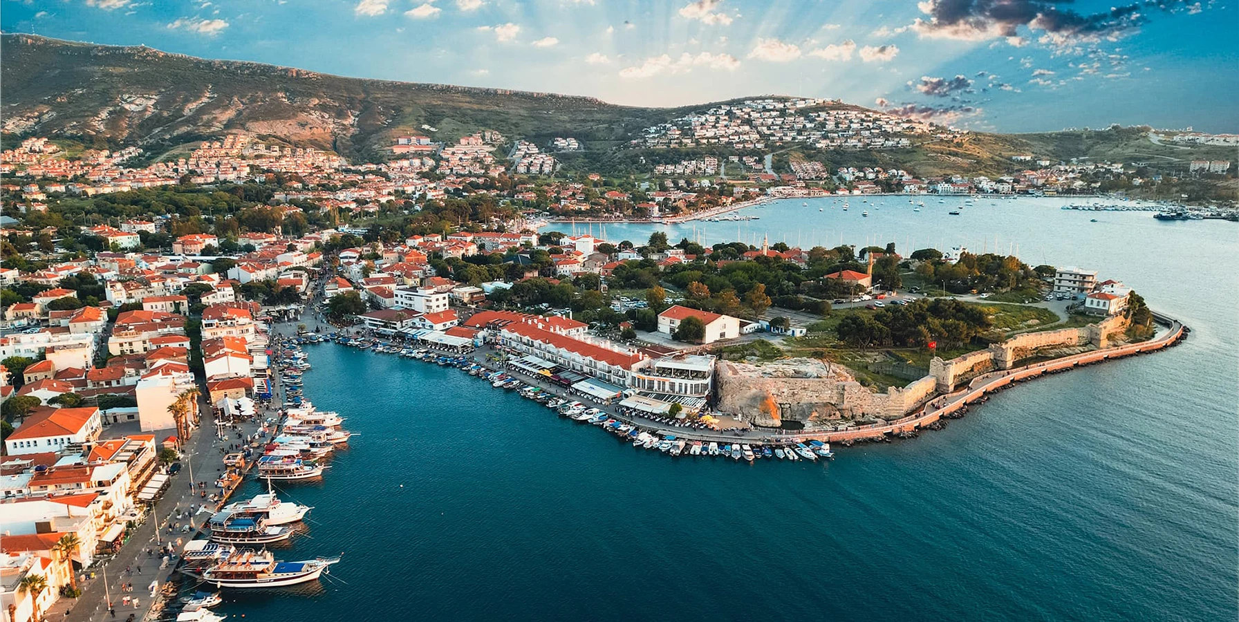
Continue from Aliağa's Aeolian cities to one of the Aegean's great ancient maritime centers and the historic harbor of Old Foça.
Explore Old Foça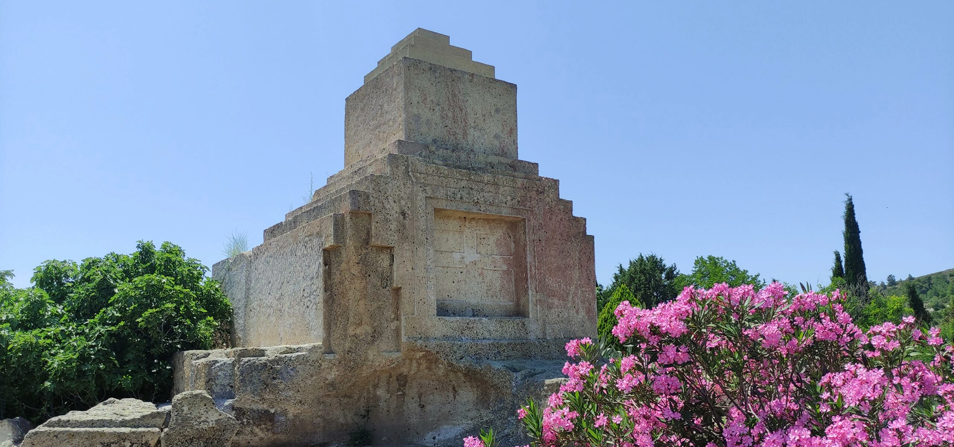
Add the unusual Persian-period monument near Foça to a broader day exploring the ancient political landscape of northern İzmir.
Explore Taş KuleBuild a longer journey through traditional craft, coastal towns, archaeology and the northern Aegean landscape.
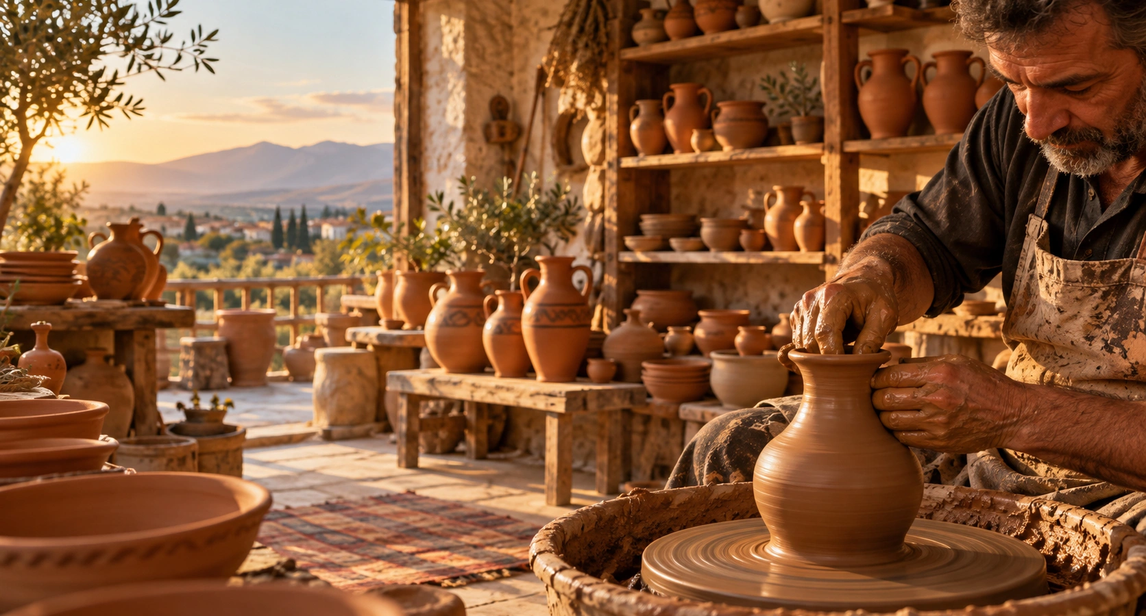
Move from ancient ports into one of İzmir's most recognizable living craft traditions and see how regional clay becomes handmade pottery.
Explore Menemen Pottery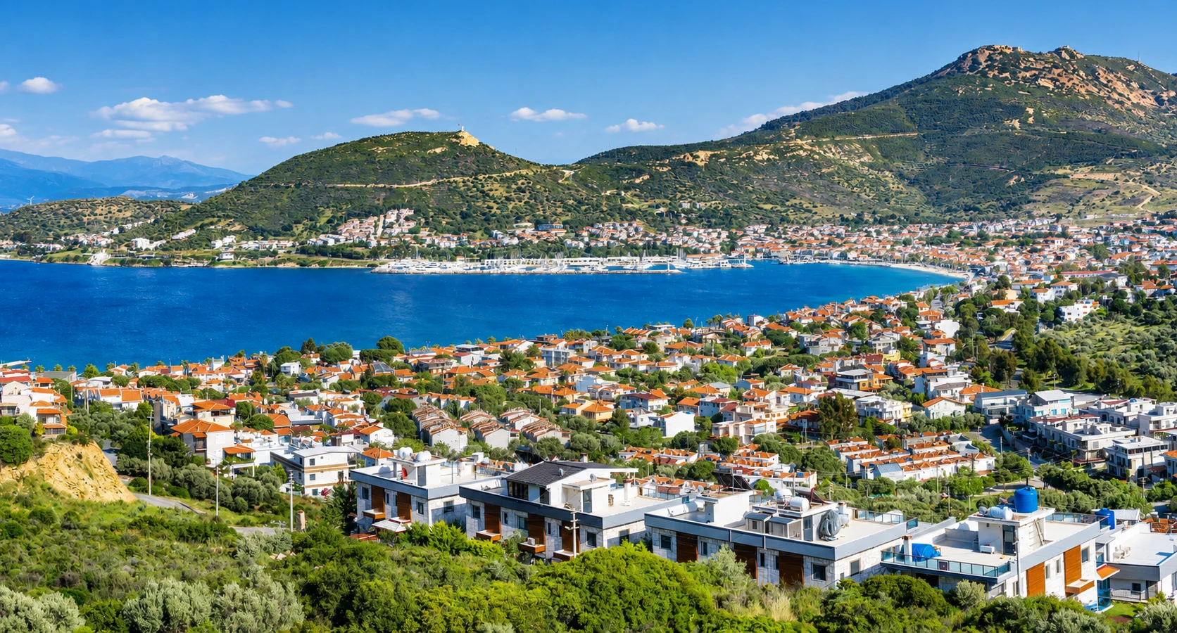
Continue along the coast toward beaches, historic residential streets and the relaxed waterfront atmosphere of Yeni Foça.
Explore New Foça