Private Myrina Ancient City Tour
Explore Myrina's harbor, civic landscape, ancient theatre, necropolis and extraordinary terracotta legacy with private historical interpretation.
Request a Private Tour





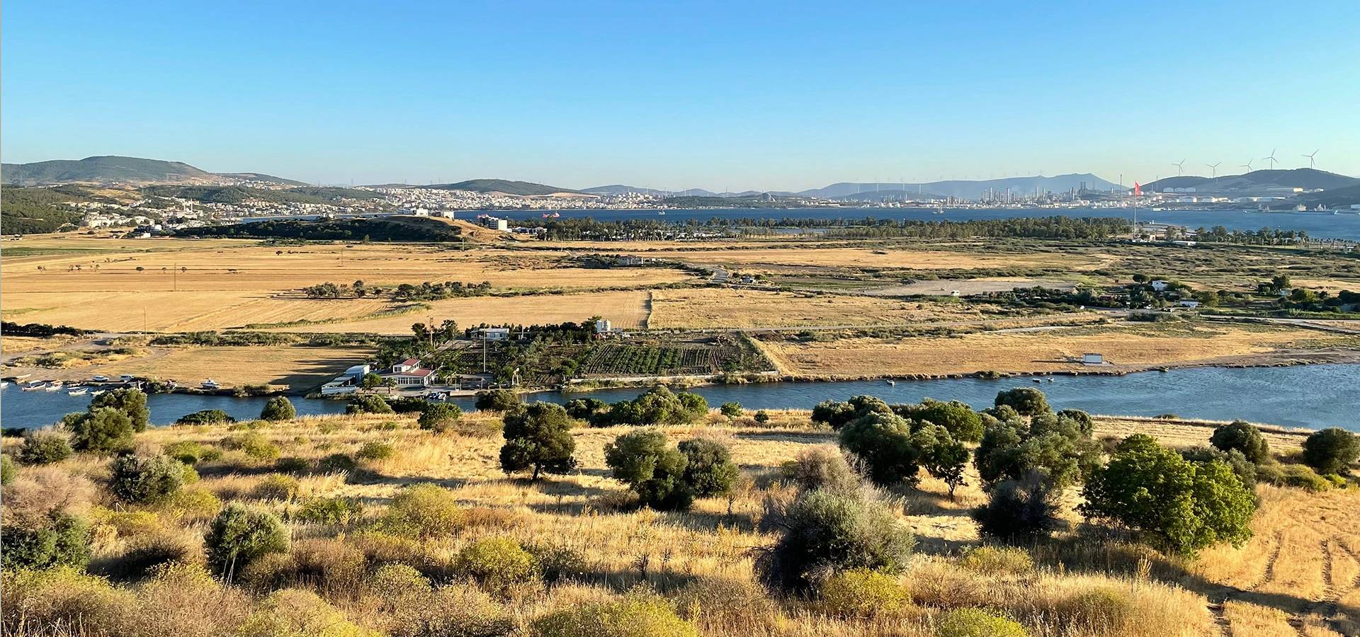
On the northern Aegean coast of İzmir Province, near the mouth of the Güzelhisar River, lies one of ancient Aiolis' most fascinating archaeological landscapes: Myrina.
Unlike Ephesus, Pergamon or Aphrodisias, Myrina is not famous for monumental buildings standing dramatically above the landscape.
Its greatest archaeological treasures came instead from beneath the earth.
During nineteenth-century excavations of the city's enormous necropolis, archaeologists uncovered thousands of ancient burials and an extraordinary collection of terracotta figurines.
Elegant women, Erotes, deities, actors, children, animals and scenes from daily life emerged from the graves, transforming Myrina into one of the most important names in the study of Hellenistic terracotta art.
Many of these objects eventually entered major museum collections, including the Louvre Museum in Paris.
But Myrina was much more than a cemetery.
It was a living Aeolian port city with a protected harbor, agora, theatre, streets, water systems, fortifications, residential areas and surrounding agricultural territory.
Today the site offers something increasingly rare: the opportunity to read an ancient city through its landscape, hills, river, harbor and archaeology.
Myrina was one of the historic Aeolian cities of western Anatolia and was mentioned by ancient authors including Herodotus and Strabo.
The extensive cemetery surrounding the city produced thousands of graves and some of Myrina's most extraordinary archaeological discoveries.
Myrina became internationally famous for delicate Hellenistic clay figurines depicting gods, women, children, actors, Erotes and everyday life.
The city's protected harbor connected the Güzelhisar valley with maritime routes across the northern Aegean.
Essential information for understanding one of the most remarkable archaeological landscapes of ancient Aiolis.
Near the mouth of the Güzelhisar River in the Aliağa district of northern İzmir Province.
Open on Google MapsAiolis, the historic Aeolian territory extending across the northern Aegean coast of western Anatolia.
An important coastal city with a protected harbor connecting agricultural territory with Aegean maritime networks.
Its extensive necropolis and internationally renowned Hellenistic terracotta figurines.
The ancient settlement developed across several hills beside the Güzelhisar River and Çandarlı Gulf.
Myrina was its principal ancient name; Sebastopolis also appears in traditions associated with its Roman history.
Myrina offers a different archaeological experience: one built around landscape, burial archaeology, ancient art and the relationship between a city and the sea.
Visitors arriving at Myrina should not expect the monumental marble streets of Ephesus or the spectacular hilltop architecture of Pergamon.
Much of ancient Myrina lies beneath soil, vegetation and centuries of accumulated landscape change.
Yet that is precisely what makes the site fascinating.
The position of the ancient city can still be understood through its hills, river valley, coastline and harbor.
The remains reveal how geography influenced the growth of an ancient port.
More importantly, the archaeological discoveries from Myrina allow us to look beyond monumental public architecture.
The city's necropolis has revealed individual people, families, beliefs, clothing, religious imagery, childhood, theatre and ancient ideas about death.
This human dimension is one of Myrina's greatest strengths.
For travelers interested in archaeology, Hellenistic art, ancient funerary customs, terracotta production or lesser-known Aegean cities, Myrina is one of northern İzmir's most intriguing historical landscapes.
Myrina belonged to the historical region known as Aiolis or Aeolis.
This was a cultural landscape of ancient communities occupying parts of the northern Aegean coast of western Anatolia and the neighboring island of Lesbos.
Ancient writers associated the region with populations traditionally identified as Aeolian Greeks.
Herodotus included Myrina among the historic group of Aeolian cities of western Anatolia.
Other important cities of the same cultural landscape included Kyme, Gryneion, Aigai, Larisa, Pitane and Temnos.
These settlements were politically independent for much of their history, but they shared geographical, linguistic, religious and cultural connections.
Myrina occupied an especially advantageous position.
To its south lay Kyme, one of the most important urban centers of ancient Aiolis.
To the north lay Gryneion, famous for its sanctuary and oracle of Apollo.
Myrina therefore stood within an unusually concentrated network of cities, harbors, sanctuaries, roads and agricultural territories.
Myrina belonged culturally and historically to ancient Aiolis rather than the Ionian territory farther south.
The great Aeolian city of Kyme developed south of Myrina and became one of the leading urban centers of the region.
A nearby sacred center celebrated in antiquity for the sanctuary and oracle of Apollo.
Sea travel connected Myrina with neighboring ports, offshore islands and wider Mediterranean exchange networks.
The Güzelhisar valley connected the maritime city with productive territory farther inland.
Modern Aliağa preserves one of the richest concentrations of Aeolian archaeological landscapes in Türkiye.
Understanding the geography of Myrina is essential for understanding the city itself.
The settlement developed close to the point where the Güzelhisar River, known in ancient geographical traditions as the Titnaios or Pythikos, reaches the Aegean coast.
Several hills define the archaeological landscape.
Among the most important are Kalabasar — traditionally called Öteki Tepe — and Apar or Beriki Tepe.
Other surrounding elevations, including Andız, Kalem and neighboring hills, formed part of the wider settlement and necropolis landscape.
Geoarchaeological research has demonstrated that this coastline has changed significantly over thousands of years.
Areas that are now connected by dry land were once influenced by shallow marine channels, lagoons, river sediment and changing shorelines.
This changing environment helped determine where the inhabitants could establish harbors, roads, settlement terraces and cemeteries.
Myrina therefore provides an excellent example of how archaeology and natural geography must be studied together.
The river valley shaped the ancient landscape and connected the coast with inland territory.
One of the principal elevated areas associated with the ancient settlement beside the coast.
A major part of the ancient urban landscape traditionally associated with the acropolis area.
Sedimentation and shoreline change gradually transformed the relationship between the city, river and sea.
The local topography created a protected maritime zone that encouraged the development of an ancient port.
Ancient remains extend well beyond a single hill and should be understood as part of a larger cultural landscape.
Like many ancient cities of western Anatolia, Myrina possessed more than one story explaining its origins.
Ancient literary traditions connected the city with the legendary Amazons.
Strabo included Myrina among western Anatolian cities traditionally said to have been founded by Amazons.
According to this tradition, the city took its name from Myrina, a legendary Amazon figure.
Stories linking cities with Amazon founders occur repeatedly across the ancient Aegean coast, including traditions associated with Ephesus, Smyrna and Kyme.
These legends formed part of the cultural memory through which ancient communities explained their identities.
They should not, however, be confused with archaeological proof of a literal foundation event.
Archaeology presents a more complex picture, in which settlement developed through interaction between local Anatolian communities, Aeolian cultural traditions and wider Aegean networks.
Myrina's history stretched across many of the political transformations that reshaped western Anatolia.
The city emerged within the cultural geography of ancient Aiolis and developed through its access to fertile land, river routes and the Aegean Sea.
By the Classical period, Myrina participated in the increasingly interconnected political world of the Aegean.
Ancient literary sources describe the city during periods of Persian influence and conflict involving Greek cities of western Anatolia.
Xenophon refers to Myrina in connection with Gongylos during events around the end of the fifth and beginning of the fourth century BCE.
The campaigns of Alexander the Great later transformed the political structure of western Anatolia.
Following Alexander's death, Myrina became part of the complex Hellenistic world dominated by competing kingdoms.
The city eventually entered the sphere of the Kingdom of Pergamon, whose power dominated much of the northern Aegean region.
Myrina flourished especially during the Hellenistic period, the era from which many of its celebrated terracotta figurines and necropolis finds originate.
Under Roman rule, the city continued to occupy an important position on the coast.
A devastating earthquake in 17 CE affected a number of cities in western Anatolia, including Myrina.
The Roman emperor Tiberius provided assistance to communities affected by the disaster.
Ancient and later historical traditions also preserve Sebastopolis as an alternative name associated with Myrina's Roman-period history.
Christianity gradually transformed the religious landscape during Late Antiquity.
Myrina became an episcopal center within the Christian geography of western Asia Minor.
The city continued into the Byzantine era, although its economic and urban importance gradually changed.
Myrina was not constructed around one monumental central avenue.
Its urban form responded directly to the hills, river and coastline.
Research across the site has identified a connected sequence of public spaces extending from the maritime zone toward the civic center.
The harbor stood beside the coast in a naturally protected position.
South of the harbor, archaeological remains have been interpreted as belonging to the agora and its surrounding colonnaded architecture.
A street system connected this civic zone with the theatre, which occupied the slope near Apar Hill.
Shops, roads and public architecture developed within the same central urban landscape.
Residential areas occupied other terraces, while cemeteries spread across hills and valleys outside the principal inhabited zone.
The result was a city in which commerce, politics, religion, entertainment, maritime activity and funerary landscapes were closely connected.
The protected port formed Myrina's maritime gateway to the northern Aegean.
The civic and commercial center developed close to the harbor and central street system.
A substantial theatre was constructed against the slope and faced toward the western coastal landscape.
Archaeological survey has identified a major street connecting important sectors of the ancient city.
Rows of commercial spaces formed part of the urban environment near the civic center.
Extensive burial grounds occupied the landscape beyond the principal inhabited areas.
Myrina was fundamentally a maritime city.
Its harbor developed in the protected coastal zone between the surrounding hills, taking advantage of the natural geography of the river mouth and bay.
Archaeological survey has identified ancient blocks and structures associated with the harbor entrance and breakwater.
Much of the ancient maritime infrastructure is now either buried, submerged or incorporated into the changing coastal landscape.
The harbor connected directly with the city's civic center.
Survey evidence indicates an urban axis linking the harbor, agora and theatre.
This connection reveals how efficiently goods and people could move from arriving ships into the commercial heart of Myrina.
Agricultural products from the Güzelhisar valley could be exported through the port, while ceramics, manufactured goods, raw materials and ideas arrived from other parts of the Aegean.
The harbor therefore functioned as both an economic engine and cultural gateway.
Natural topography helped shelter the harbor from dominant winds and open-sea conditions.
Large stone blocks surviving near the shoreline provide evidence for ancient maritime engineering.
Ships brought people, products and ideas directly into the economic life of the city.
The harbor was connected with the agora and theatre through the city's street system.
River sediment and coastal transformation have altered the ancient relationship between land and sea.
Parts of Myrina's ancient maritime landscape may survive beneath modern sediment and shallow coastal water.
The agora formed the civic, commercial and social center of the ancient city.
Archaeological survey has identified remains interpreted as belonging to the agora in the relatively level area near the harbor and between the principal hills.
Architectural fragments discovered in this zone include elements associated with the Doric order.
Column drums and a Doric capital have suggested the presence of a colonnaded stoa bordering part of the public space.
Such buildings provided sheltered areas for trade, public conversation, administration and civic activity.
The location of the agora close to the harbor was especially important.
Merchants, travelers and goods arriving from the sea could move almost immediately into the city's commercial center.
Myrina possessed a substantial ancient theatre constructed against the slope southwest of the area traditionally identified as the acropolis.
Its orientation placed the theatre within a dramatic landscape looking toward the west and the sea.
Modern archaeological survey suggests that it was a medium-sized performance building capable of accommodating several thousand spectators.
Much of the theatre is presently hidden beneath soil, stone rubble and vegetation.
The cavea, stage building and much of the architectural structure are therefore difficult to identify from the surface.
In some areas, however, the natural bedrock appears to have been shaped in connection with the seating arrangement.
The theatre was more than a venue for entertainment.
In Greek and Roman cities, theatres were places where performance, religious festivals, collective identity and public life came together.
At Myrina, its position within the same urban corridor as the agora and harbor demonstrates the careful organization of the civic center.
No part of Myrina has shaped its modern archaeological reputation more than the necropolis.
Extensive burial grounds occupied hills, slopes and valleys surrounding the ancient settlement.
During the nineteenth century, the discovery of these cemeteries attracted archaeological attention to the site.
Between 1880 and 1882, Edmond Pottier and Salomon Reinach, working in connection with the French School at Athens, carried out major investigations within the Myrina necropolis.
Their research documented a vast funerary landscape and produced an extraordinary collection of archaeological material.
The excavations were later published in the monumental work La Nécropole de Myrina.
The graves contained pottery, jewelry, coins, personal objects, funerary equipment and, most famously, terracotta figurines.
These discoveries transformed Myrina into a fundamental site for the study of Hellenistic funerary practice and coroplastic art.
The cemetery is especially valuable because it preserves information about people who might otherwise remain almost invisible in ancient written history.
Children, women, families, craftspeople and ordinary inhabitants can be approached through the objects placed inside their graves.
The wider necropolis represents one of the most extensive archaeological burial landscapes associated with Myrina.
Many of the best-known discoveries belong to the centuries when Hellenistic culture flourished across the Aegean.
Clay figures deposited with the dead became the most internationally famous category of Myrina finds.
Jewelry, mirrors, vessels and small possessions provide intimate evidence for ancient identity and burial customs.
The arrangement of graves and offerings helps archaeologists reconstruct changing attitudes toward death and remembrance.
The nineteenth-century excavation and publication of the cemetery became an important chapter in early Mediterranean archaeology.
Myrina is internationally associated with terracotta figurines.
These small objects, formed from fired clay, were found in remarkable numbers inside graves and other archaeological contexts.
Many belong to the broader artistic world of Hellenistic coroplastic production.
Some figures resemble the elegant, carefully draped female types commonly associated with the Tanagra tradition.
But the artistic repertoire of Myrina was much broader.
Figurines represented Aphrodite, Eros, Nike, other gods and goddesses, women, children, actors, grotesque figures, animals and scenes inspired by everyday life.
Some retain evidence that they were once painted.
Others preserve delicate modeling of hair, clothing, jewelry and movement.
Their value goes far beyond artistic beauty.
They provide evidence for religion, fashion, theatre, childhood, gender, funerary ritual, craft production and the movement of artistic ideas across the Hellenistic world.
The abundance and quality of the discoveries meant that Myrina became one of the places against which Hellenistic terracotta production throughout the Mediterranean could be compared.
Draped female figures reveal the sophisticated treatment of clothing, posture and gesture in Hellenistic art.
Winged figures of Eros appear frequently within the artistic and funerary repertoire associated with Myrina.
Representations of gods and goddesses illuminate religious ideas circulating through the ancient city.
Actors, masks and theatrical imagery provide another connection between terracotta art and ancient social life.
Children, clothing, hairstyles and ordinary figures preserve details rarely represented in monumental sculpture.
Ancient figurines were often brightly colored rather than the plain clay objects encountered in museums today.
The nineteenth-century excavation of Myrina took place during a period when archaeological objects were frequently divided among institutions under the legal and archaeological practices of the time.
As a result, important groups of Myrina finds entered museum collections both within the Ottoman Empire and in Europe.
Today, the Louvre Museum in Paris holds one of the world's best-known collections of terracotta figurines excavated at Myrina.
Louvre records preserve the connection between numerous objects and the Pottier and Reinach excavations of 1880–1882.
Other Myrina material entered archaeological collections in Türkiye, allowing the site's artistic legacy to be studied across several museums and publications.
The international dispersal of these objects means that many travelers may encounter art from Myrina inside a museum long before they ever see the archaeological landscape where it was discovered.
One reason Myrina is so important is that its archaeology moves beyond the history of rulers, wars and monumental buildings.
The city's graves and terracotta figurines preserve evidence connected with the everyday experiences of ordinary people.
Clothing styles can be examined through carefully modeled drapery.
Hairstyles, jewelry and body language reveal changing ideas of identity and appearance.
Figures of children provide rare visual evidence for childhood.
Actors and masks demonstrate the popularity of theatre.
Representations of gods, goddesses and Erotes provide clues to religious belief and funerary symbolism.
Animals, domestic imagery and humorous or grotesque figures reveal still other aspects of cultural life.
Together, these objects create a surprisingly intimate portrait of an ancient community.
A functioning ancient city required a reliable supply of fresh water.
Archaeological survey east of Myrina has identified remains interpreted as part of the city's water-supply network.
Sections of water channels and associated structures extend through the landscape toward the urban area.
These remains demonstrate that Myrina's inhabitants did not depend solely on immediate natural springs or the nearby river.
Water had to be collected, controlled and transported to support houses, public buildings and the urban population.
The water system therefore represents another important part of the city that is easy to overlook when concentrating only on temples or sculpture.
Survey work has identified traces of engineered routes carrying water toward the ancient settlement.
The landscape east of the city preserves important evidence connected with Myrina's infrastructure and wider territory.
A reliable water system was essential for houses, public buildings, workshops and civic life.
Some of the most important evidence for ancient urban organization survives outside the monumental city center.
Myrina continued to function after the Hellenistic kingdoms of western Anatolia gave way to Roman rule.
The Roman period brought new political, economic and cultural connections across the Mediterranean.
In 17 CE, a destructive earthquake affected numerous cities in western Anatolia.
Myrina was among the communities that received imperial assistance during the reign of Tiberius.
Some historical traditions associate the alternative name Sebastopolis with this Roman phase of the city's history.
Later earthquakes and changing regional conditions continued to affect settlement along the coast.
Meanwhile, Christianity gradually transformed the city's religious identity.
During Late Antiquity, Myrina became part of the ecclesiastical geography of western Anatolia and is known as a bishopric.
Byzantine-period walls and other remains demonstrate that occupation continued even as the character of the ancient city changed.
This later history is important because Myrina did not simply disappear at the end of the Hellenistic age.
It remained a living place whose inhabitants continually reused, adapted and transformed the earlier city.
The archaeological rediscovery of Myrina began during the nineteenth century.
Early discoveries revealed the extraordinary richness of the necropolis and attracted the attention of scholars working in western Anatolia.
The most influential early campaigns were undertaken between 1880 and 1882 by Edmond Pottier and Salomon Reinach in association with the French School at Athens.
Their work concentrated especially on the extensive necropolis.
The resulting discoveries included terracotta figurines, ceramics, coins, jewelry and numerous other funerary objects.
Their publication, La Nécropole de Myrina, became a major archaeological reference.
Modern research has expanded the focus beyond the cemetery.
Archaeological survey has examined the harbor, agora, theatre, water systems, settlement hills, roads and wider territory.
Geoarchaeological research has also reconstructed changes in the ancient coastline and river environment.
The result is a far more complete understanding of Myrina: not simply as a source of beautiful museum objects, but as an entire ancient urban and environmental landscape.
Myrina is not a fully excavated archaeological park.
Many of its structures remain beneath soil, vegetation and accumulated sediment.
Some visible features are subtle and require archaeological context to understand.
Depending on current access, research and conservation conditions, the wider archaeological landscape contains evidence connected with the following features.
Stone blocks near the coast preserve traces of the maritime infrastructure that connected Myrina with the Aegean.
Architectural fragments indicate the location of the civic center and possible Doric stoa.
The theatre survives largely below the surface but its position against the hillside remains archaeologically identifiable.
Survey evidence helps reconstruct routes connecting the harbor, agora, theatre and other urban areas.
The extensive burial zone extends through hills and valleys beyond the core settlement.
Wall remains from different periods reflect the changing defensive history of the settlement.
Channels and associated remains east of the city provide evidence for ancient water management.
Pottery fragments scattered across the landscape indicate long periods of ancient occupation.
The relationship between hills, river and sea remains one of the most important surviving features of Myrina.
Myrina is best suited to travelers who enjoy archaeological landscapes rather than reconstructed monuments.
This is a place where historical knowledge dramatically changes what you see.
Without context, a visitor may notice only hills, stone fragments, coastal remains and open ground.
With archaeological explanation, the same landscape becomes a harbor city, civic center, theatre, necropolis and ancient transportation network.
Access to individual areas may vary because of private property, archaeological protection, agriculture, research or conservation requirements.
For this reason, current local access conditions should always be checked before making a dedicated journey to the site.
A knowledgeable guide is especially valuable at Myrina because much of the archaeology cannot be interpreted through monumental ruins alone.
Individual archaeological sectors may not always be freely accessible.
Expect uneven ground, agricultural paths, loose stone and natural vegetation.
Visitor facilities are limited and much of the site is exposed to the sun.
Historical and archaeological explanation makes the subtle remains considerably easier to understand.
Myrina rewards slow observation of its geography rather than a quick search for one monumental structure.
Never disturb pottery, enter excavated areas without permission or remove archaeological material.
Myrina lies within the Aliağa district of İzmir Province near the Güzelhisar River and the northern Aegean coast.
The wider district can be reached from İzmir by road and by İZBAN suburban rail to central Aliağa.
However, the archaeological landscape of Myrina lies outside the central town area.
A private vehicle is therefore the most practical option for archaeological exploration.
Driving also allows Myrina to be combined easily with Kyme, Gryneion, Aliağa and other destinations across northern İzmir.
Green landscapes, wildflowers and comfortable temperatures make spring particularly rewarding for archaeological exploration.
Long daylight hours are useful, but morning visits are preferable as temperatures begin to rise.
Expect strong sun and limited shade across open archaeological terrain. Start early and carry water.
Warm weather and softer light make autumn excellent for combining archaeology with the northern Aegean coast.
The landscape is quiet and atmospheric, although rain and muddy ground may make some areas harder to explore.
Early morning and late afternoon light brings out the contours of hills, stone remains and the coastal landscape.
Myrina is a place where landscape photography often communicates more than close photographs of individual ruins.
The relationship between hills, river, harbor and sea is central to understanding the city.
Wide compositions can show how the settlement occupied natural terraces overlooking the coastal environment.
Along the shoreline, partially submerged stone blocks create powerful images of the connection between archaeology and the Aegean Sea.
Low morning or evening light is especially effective because shadows reveal changes in elevation, terracing and low archaeological remains.
The landscape can also be striking in spring, when vegetation softens the archaeological terrain.
The harbor landscape is one of the clearest ways to communicate Myrina's maritime identity.
Include hills, river and coastline to explain how the ancient settlement fitted into its environment.
Stone blocks, ceramic fragments and weathered surfaces create quieter archaeological compositions.
Low-angle sunlight creates stronger definition across subtle archaeological features.
Never reposition pottery or archaeological objects for photographs.
Drones, professional equipment and access to protected areas may require permission.
Myrina is not simply an open landscape.
It is a protected archaeological environment containing evidence that may appear insignificant to an untrained eye.
Even a small pottery fragment can provide information about chronology, trade, production or ancient settlement patterns.
Visitors therefore have an important role in protecting the site.
Pottery fragments, stones and other archaeological objects must remain exactly where they are discovered.
Any disturbance of archaeological deposits destroys information and may violate heritage laws.
Protected or restricted areas may contain fragile remains or active archaeological research.
The archaeological landscape intersects with agricultural and privately used areas.
Do not disturb underwater or shoreline archaeological material.
Carry rubbish away and avoid damaging vegetation or archaeological surfaces.
Myrina becomes even more meaningful when explored as part of the wider archaeological geography of ancient Aiolis.
Begin in the morning at Myrina, when cooler temperatures and low sunlight make the hills and archaeological landscape easier to understand.
Focus first on the relationship between the harbor, agora, theatre and principal settlement hills.
Then examine the wider landscape of the famous necropolis, remembering that the terracotta figurines now displayed in major museums originated from this environment.
Continue south toward Kyme Ancient City, the great Aeolian port that became one of the most important urban centers of the region.
After lunch in Aliağa, continue north toward Gryneion to explore the landscape associated with the ancient sanctuary of Apollo.
Myrina stands within one of the richest archaeological landscapes of the northern Aegean.
Explore the largest city of ancient Aiolis and its remarkable harbor, civic center, sanctuaries and necropoleis.
Continue to the sacred Aeolian landscape associated with the celebrated sanctuary and oracle of Apollo.
Discover the wider district surrounding Myrina, including ancient sites, wetlands, coastal landscapes and local culture.
Travel inland into the Yunt Mountains to one of the most dramatically situated cities of ancient Aiolis.
Continue south along the northern İzmir coast for beaches, waterfront scenery and historic residential streets.
Compare Aeolian Myrina with one of the great maritime cities of ancient Ionia.
Explore the extraordinary Taş Kule monument and the Persian-period landscape between Aliağa and Foça.
Move from ancient terracotta art to a living ceramic tradition that continues in northern İzmir today.
Myrina challenges the idea that the importance of an ancient city should be measured by how many monumental buildings remain standing.
Much of its architecture has disappeared.
Its theatre lies largely beneath the ground.
Its agora survives through subtle archaeological traces.
Its harbor has been reshaped by water, sediment and time.
Yet Myrina has given archaeology something extraordinary.
Its graves preserved thousands of fragments of individual human experience.
A small terracotta woman adjusting her clothing.
A winged Eros.
A child.
An actor.
A goddess.
A personal ornament placed beside someone who died more than two thousand years ago.
These objects make the ancient city feel unexpectedly close.
They remind us that archaeology is not only about emperors, temples and battles.
It is also about the ordinary people who lived, worked, loved, worshipped and remembered their dead.
That is the deeper importance of Myrina.
A quiet landscape on the northern Aegean coast became one of the most revealing windows into the private world of Hellenistic society.
Myrina is located in the Aliağa district of İzmir Province near the mouth of the Güzelhisar River on Türkiye's northern Aegean coast.
Myrina was an ancient Aeolian city and maritime center with a harbor, agora, theatre, residential areas and extensive necropoleis.
Yes. Ancient authors included Myrina among the important cities of the historic region of Aiolis.
Myrina is especially famous for its extensive ancient necropolis and the remarkable Hellenistic terracotta figurines discovered there.
They provide exceptional evidence for Hellenistic art, religion, clothing, theatre, childhood, funerary customs and everyday social identity.
Important Myrina finds entered museum collections in Türkiye and Europe. The Louvre Museum in Paris preserves one of the best-known groups of terracotta figurines from the site.
Among the most important early excavators were Edmond Pottier and Salomon Reinach, who investigated the necropolis between 1880 and 1882 in connection with the French School at Athens.
It is the major nineteenth-century publication documenting the necropolis, archaeological investigations and many of the objects discovered during the early excavations.
Yes. Myrina was an important coastal settlement with a protected harbor that connected the city with Aegean maritime routes.
Some stone blocks associated with the harbor and breakwater remain visible, while other parts of the ancient maritime infrastructure are buried or submerged.
Yes. Archaeological survey has identified remains interpreted as belonging to the agora and associated Doric architectural elements.
Yes. A substantial ancient theatre occupied the slope near the civic center, although much of the structure now lies beneath soil, stone and vegetation.
Modern archaeological observations suggest a medium-sized theatre capable of holding several thousand spectators, although its exact ancient capacity cannot be established with complete certainty from the exposed remains.
Ancient tradition associated the city's name with a legendary Amazon called Myrina. The story belongs to ancient mythology and civic memory rather than documented historical foundation.
Sebastopolis appears as an alternative name in ancient and later historical traditions and is often associated with the city's Roman-period history.
Yes. Myrina was among the western Anatolian cities affected by the major earthquake of 17 CE during the reign of Emperor Tiberius.
Myrina became connected with the Pergamene kingdom during the political transformations of the Hellenistic period.
Yes. The city continued under Roman rule and remained part of the urban network of western Asia Minor.
Yes. During Late Antiquity the city became part of the Christian ecclesiastical landscape and is known as an episcopal center.
It was the extensive burial landscape surrounding the ancient city, containing large numbers of graves and funerary objects from different periods.
The figurines reflect both local production and wider artistic influences. Archaeological and scientific research indicates access to suitable clay resources in the surrounding landscape, while styles also circulated throughout the Aegean world.
Subjects include women, children, Erotes, deities, actors, theatrical figures, animals and numerous mythological or everyday themes.
Myrina is not a heavily reconstructed monumental site. Many structures remain buried, and the surviving archaeological landscape requires careful observation and historical context.
No. Large areas of the settlement, cemeteries and surrounding territory remain unexcavated or known primarily through archaeological survey.
Access conditions may vary because archaeological areas overlap with protected, agricultural or privately used land. Check current local conditions before making a dedicated visit.
A guide is not essential, but archaeological explanation makes the site much more meaningful because many important features are subtle or remain below the surface.
Allow approximately one to two hours for a focused visit, with additional time if you plan to explore the wider Aiolian archaeological landscape.
Spring and autumn generally offer the most comfortable conditions. During summer, early morning or late afternoon is preferable because the landscape is exposed.
Photography may be possible in accessible areas, but visitors should respect archaeological restrictions, private property and any regulations concerning professional or drone photography.
No. All pottery, stones, terracotta fragments and other archaeological material must remain exactly where they are found.
Yes. Kyme lies within the same wider Aeolian archaeological landscape and makes an excellent combination with Myrina.
Gryneion was another important Aeolian settlement near Myrina, particularly famous in antiquity for its sanctuary and oracle of Apollo.
Yes. Continue toward Old Foça to compare the Aeolian landscape of Myrina with ancient Ionian Phokaia and its maritime heritage.
Nearby archaeological destinations include Kyme, Gryneion, Aigai, Tisna, Larisa and ancient Phokaia.
Myrina is particularly rewarding for travelers interested in archaeology, Hellenistic art, ancient cemeteries, terracotta figurines and lesser-known historical landscapes of the northern Aegean.
Explore Myrina and the archaeological landscapes of northern İzmir with private, flexible experiences focused on history, ancient culture and meaningful local context without compulsory shopping stops.
Discover the forgotten port city, its remarkable necropolis and the landscape that produced some of the Hellenistic world's most celebrated terracotta figurines.
Explore Myrina's harbor, civic landscape, ancient theatre, necropolis and extraordinary terracotta legacy with private historical interpretation.
Request a Private Tour
Follow the story of Myrina's famous graves, Hellenistic figurines and the ancient people whose burial customs made the city internationally important to archaeology.
Create Your Archaeology DayConnect Myrina with the neighboring cities and sacred landscapes that once formed the Aeolian world.
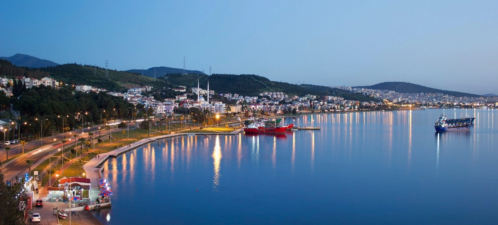
Explore three distinctive Aeolian landscapes: Myrina's terracotta city, Kyme's great maritime center and the sacred landscape of Apollo at Gryneion.
Plan Your Ancient Aiolis Route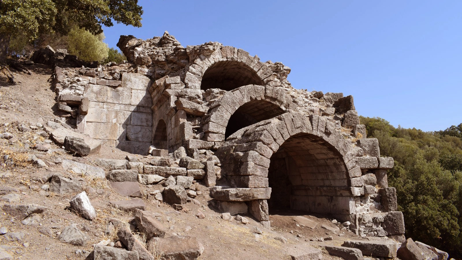
Continue south to the great port of ancient Aiolis, where harbors, public buildings, sanctuaries and necropoleis reveal another side of the Aeolian world.
Explore Ancient KymeCombine Myrina's archaeology with the wider natural and cultural landscape of northern İzmir.
Discover the wider district surrounding Myrina, from ancient cities and wetlands to villages, coastal landscapes and northern Aegean culture.
Explore Aliağa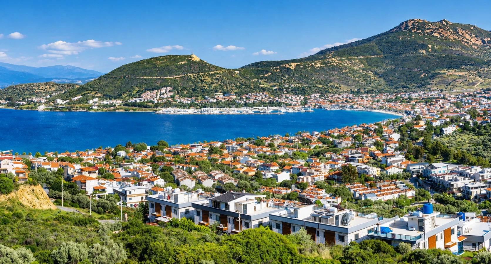
Continue along the northern Aegean coast for beaches, historic residential streets and a relaxed waterfront atmosphere after exploring ancient Myrina.
Explore New FoçaFollow the story of clay from ancient Hellenistic figurines to one of İzmir's continuing ceramic traditions.
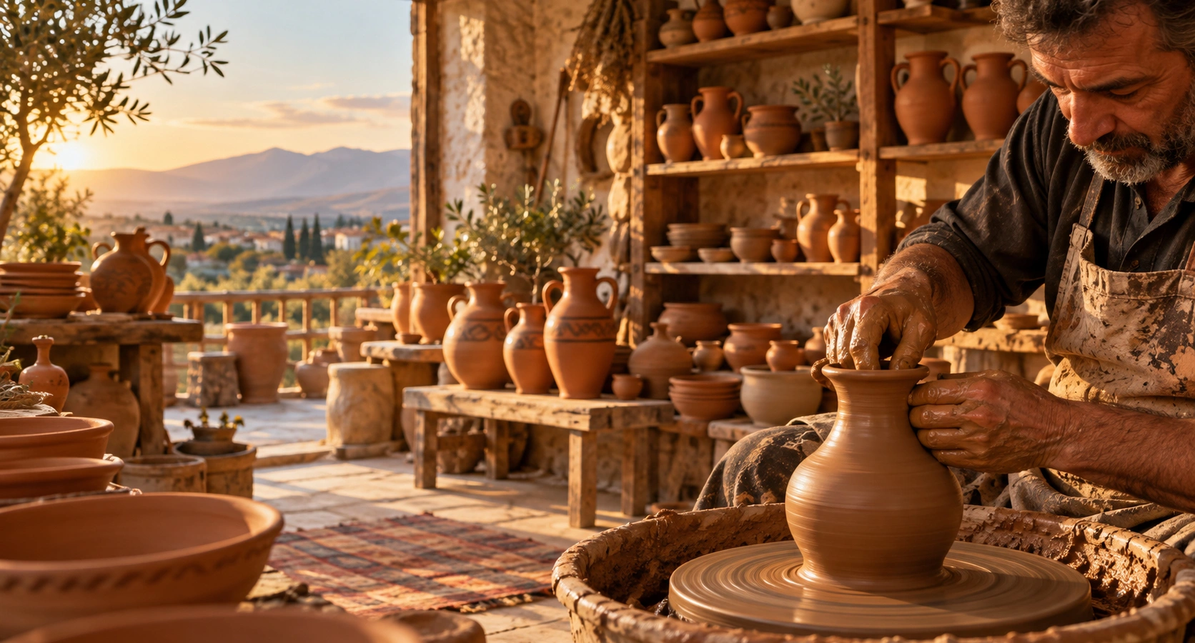
Continue from Myrina's internationally famous terracotta figurines to the living pottery workshops and ceramic tradition of Menemen.
Explore Menemen Pottery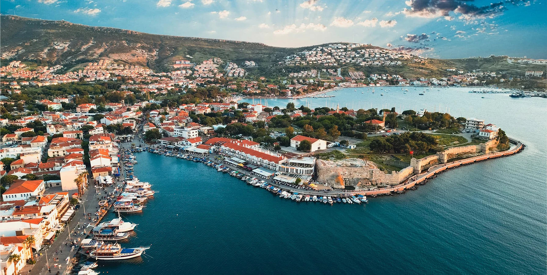
Continue from Aeolian Myrina to the historic harbor of ancient Phokaia, one of the great maritime cities of the Ionian world.
Explore Old Foça