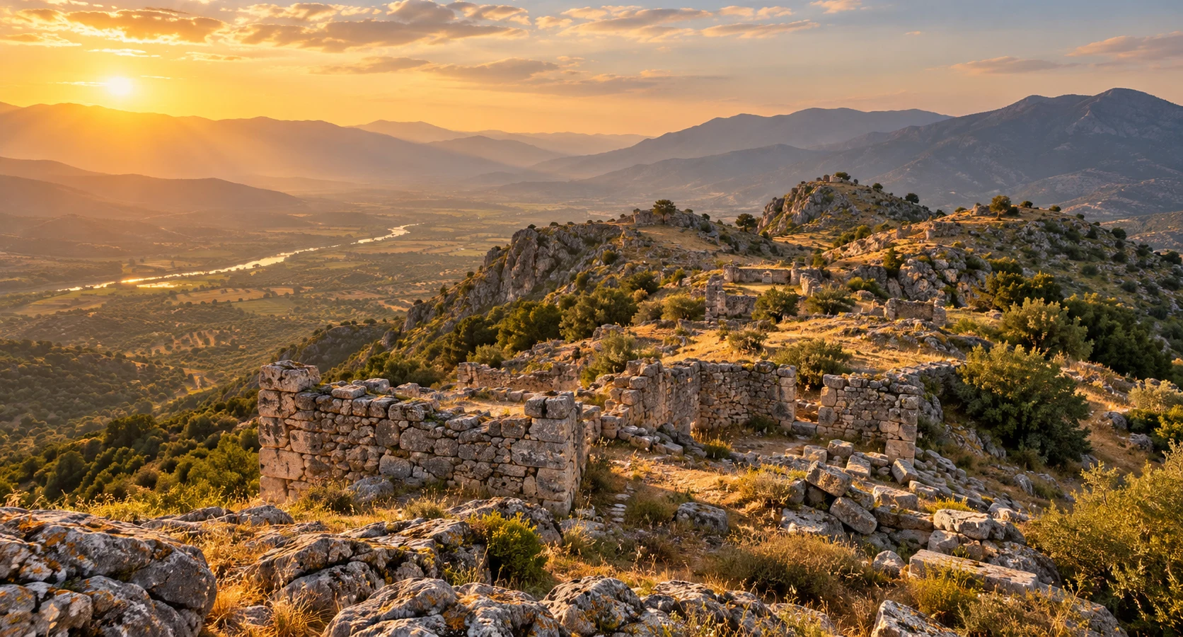
Private Piginda & Bozdoğan Heritage Tour
Ask us about a custom archaeological excursion exploring Piginda, the historic Akçay Valley and the lesser-known heritage of Bozdoğan, subject to local site access.
Request a Custom Tour





Hidden in the mountainous countryside of Bozdoğan in Aydın Province, Piginda Ancient City is one of southwestern Türkiye's lesser-known archaeological landscapes. Its ruins occupy elevated ground near Çamlıdere, overlooking the historic Akçay Valley, a natural corridor that connected communities across inland Caria.
Unlike the monumental archaeological parks of Ephesus or Aphrodisias, Piginda is not a reconstructed ancient city with extensive visitor facilities. Its significance lies in the remains of defensive walls, acropolis areas, cisterns, building foundations and evidence of ancient religious practices.
The settlement is particularly interesting because of inscriptions connected with Zeus Pigindenos, a locally worshipped form of Zeus. Archaeological research in the area has also raised important questions about the identification of Piginda and the neighboring ancient city of Bargasa.
Today, exploring this landscape means discovering fragments of ancient architecture among hills, vegetation and rocky terrain. For travelers interested in Carian history, rural archaeology and places beyond the conventional tourist routes, Piginda offers a fascinating glimpse into the ancient communities of the Akçay Valley.
Explore the remains of an inland Carian settlement.
Discover an elevated settlement shaped by defensive terrain.
Learn about inscriptions connected with a local divine cult.
Experience the landscape of an ancient regional corridor.
Essential information about the archaeological landscape of Piginda in Bozdoğan, Aydın.
Approximately 7 km north of Çamlıdere, Bozdoğan, Aydın Province.
Find on Google MapsCaria, in southwestern Anatolia.
Notable Hellenistic remains, with evidence of later ancient activity.
Acropolis areas, fortification walls, cisterns and building foundations.
Inscriptions and archaeological evidence associated with Zeus Pigindenos.
Listed as free by Bozdoğan Municipality; check current access conditions.
Allow approximately 1–2 hours on site, depending on access and walking conditions.
Rural archaeological exploration over potentially uneven terrain.
Piginda helps illuminate the smaller communities, fortified landscapes and religious traditions of inland Caria.
Ancient Caria occupied much of southwestern Anatolia, including parts of modern Aydın and Muğla. Its cities ranged from powerful regional centers to smaller settlements established on hills, above agricultural valleys and along inland routes. Piginda belongs to this wider geographical and cultural environment.
Its location near the Akçay River, known in antiquity as the Harpasos, is especially significant. The valley connected settlements, agricultural land and mountain routes. Elevated sites overlooking such corridors could serve residential, defensive and territorial purposes.
The surviving fortifications offer evidence of how ancient communities adapted their architecture to difficult terrain. Rather than imposing a formal street grid on level ground, settlements like Piginda could use natural slopes and hilltops as elements of their defensive organization.
Religious inscriptions add another dimension. The name Zeus Pigindenos preserves a connection between a deity and a local community or place. Such evidence is particularly valuable because written information about smaller Carian settlements is often limited.
Piginda also illustrates an important archaeological challenge: ancient place names cannot always be matched with surviving ruins beyond doubt. Its relationship with Bargasa remains a subject of scholarly discussion.
Piginda lies within the mountainous hinterland of the Büyük Menderes region. The site is associated with the Hisar or Asar hill landscape near Çamlıdere and Haydere, where ancient remains occupy elevated ground above the Akçay Valley.
The Akçay, ancient Harpasos, is an important tributary of the Büyük Menderes River. Its valley provided a natural geographical connection between inland settlements and the broader Maeander basin.
The location helps explain why ancient communities established themselves on defensible heights. A hilltop settlement offered broad views, natural protection and access to the resources of the surrounding countryside.
Elevated ground provided natural defensive advantages and visibility across the valley.
The Harpasos Valley connected inland Carian communities with the Maeander region.
Archaeological observations suggest that building stone was extracted in the settlement area.
Ancient cisterns demonstrate the importance of storing water in an elevated settlement.
The surrounding hills and countryside preserve the character of inland southwestern Anatolia.
Nearby archaeological sites demonstrate the broader network of ancient Carian settlements.
The precise foundation date of Piginda is unknown. Surviving ancient literary references and archaeological evidence provide only a partial picture of the settlement. Its best-known architectural remains are generally associated with the Hellenistic period, although the history of occupation in the surrounding landscape may be more complex.
Caria developed a distinctive cultural identity while interacting with neighboring Greek cities, Persian imperial administration and the political powers of the eastern Mediterranean. During the fourth century BC, the Hecatomnid dynasty played an important role in reshaping the region's political and architectural landscape.
After the campaigns of Alexander the Great, southwestern Anatolia became part of the changing Hellenistic world. Cities and smaller communities experienced new cultural influences while retaining important local traditions. The fortified remains associated with Piginda are generally assigned to this broad period.
Ancient geographical writing also helps preserve the settlement's name. Stephanus of Byzantium, a writer of the sixth century AD, refers to Piginda as a demos in Caria, a term commonly describing a smaller community or district.
Archaeological investigation around Çamlıdere and Haydere has identified inscriptions, sacred architecture and other remains that illuminate the area's ancient history. However, the precise identification of particular ruins with the names Piginda and Bargasa remains debated.
The wider region develops a network of settlements with distinctive local traditions.
Hecatomnid rule and regional political changes influence Carian society and architecture.
Fortification remains provide important evidence of the settlement's ancient development.
The wider valley remains part of the inhabited and culturally interconnected landscape of Roman Asia Minor.
Stephanus of Byzantium preserves the name Piginda in his geographical writing.
Archaeological studies and inscriptions continue to inform debates over the site and its identity.
The archaeological landscape of Piginda is traditionally described as containing three acropolis areas. Visible remains include sections of defensive walls, cisterns, traces of buildings and structures that have been interpreted in different ways by researchers.
These remains are much less monumental than those of the major excavated cities of western Anatolia. Their significance lies in how they reveal the organization of a smaller fortified settlement.
Elevated occupation zones traditionally identified as the principal parts of the ancient settlement.
Stone-built defensive lines, some attributed to the Hellenistic period.
Defensive masonry following the higher settlement area and its natural contours.
Wall traces extending across lower slopes and defining a larger protected area.
Rounded water-storage structures documented on the elevated archaeological terrain.
Fragmentary walls and architectural remains indicating former structures within the settlement.
Structures and inscriptions connected with ancient religious worship in the area.
A structure traditionally interpreted as a theatre, although its identification has been questioned.
One of the most frequently mentioned characteristics of Piginda is its arrangement around three acropolis areas. In ancient archaeology, an acropolis generally refers to an elevated or fortified part of a settlement, rather than necessarily a temple complex or a separate city.
The terrain around Piginda naturally encouraged settlement on higher ground. Elevated areas could accommodate defenses, buildings and potentially important communal or religious structures.
Archaeological descriptions identify wall lines, cisterns and traces of structures on the hill. Some masonry follows the contours of the higher ground, while other defensive remains extend across lower slopes.
The precise functions of every acropolis area have not been fully established through a comprehensive published excavation plan. Visitors should therefore regard the three-acropolis description as a useful framework rather than a completely reconstructed urban layout.
Among the most recognizable remains at Piginda are its defensive walls. Local archaeological descriptions identify an inner wall surrounding an elevated area and an outer wall following lower terrain.
Sections of the walls are generally attributed to the Hellenistic period. Some surviving wall remains have been described as approximately one meter thick, although preservation and later alterations vary.
The defensive layout reflects an important principle of ancient hilltop architecture: buildings and fortifications could incorporate natural rocky slopes to reduce the need for extensive artificial construction.
Much of the masonry has collapsed or become obscured by vegetation and accumulated soil. Nevertheless, portions of the wall lines can still provide information about the settlement's original boundaries.
An enclosure associated with the higher acropolis area.
A second defensive line extending around parts of the lower settlement.
Locally available building material helped shape the surviving architecture.
Steep slopes and rocky ground strengthened the settlement's position.
Archaeological descriptions mention an opening in the defensive system on the southeastern side.
Different masonry techniques may reflect repairs or changes after the original construction.
Water management was essential for ancient settlements occupying elevated terrain. At Piginda, archaeological descriptions record three rounded cisterns on the upper archaeological area.
A cistern is a structure designed to store water. Such facilities could help communities maintain supplies during dry periods and reduce dependence on springs or streams outside defended areas.
The surviving cisterns are described as partly filled with soil and debris. Their original construction details, capacity and relationships with other structures require careful archaeological interpretation.
These modest features offer an important reminder: the survival of an ancient settlement depended not only on walls and public buildings, but also on dependable access to water.
One of the most intriguing archaeological discoveries in the area is evidence connected with Zeus Pigindenos. The epithet Pigindenos associates the god Zeus with a particular local identity or community.
In ancient Anatolia, Greek divine names often became connected with regional religious traditions. Zeus could be worshipped under different local titles, reflecting the religious practices of particular settlements and landscapes.
Archaeological research at the site near Haydere identified a small sanctuary structure, inscriptions dedicated to Zeus Pigindenos and sculptural remains associated with the deity. These discoveries are especially significant because they offer direct evidence of ancient religious activity rather than relying entirely on later literary descriptions.
A scholarly study by Pierre Debord examined this cult, including a fragmentary statue and its possible reconstruction using archaeological and numismatic evidence.
Importantly, the discovery of a sanctuary dedicated to Zeus Pigindenos does not by itself settle the ancient name of the entire settlement. It has played a central role in the debate over whether the ruins should be identified with Piginda or Bargasa.
The name Pigindenos links Zeus with a distinctive local religious identity.
Written dedications provide evidence of worship and the name of the deity.
Archaeological investigations documented remains of a small sanctuary building.
Statue fragments contribute to the reconstruction of the deity's ancient representation.
The cult reflects the interaction between Greek religious language and regional identity.
Religious evidence is important to the continuing identification of the ancient settlement.
Several official and regional tourism descriptions list a theatre among Piginda's archaeological remains. However, the interpretation of the structure identified as a theatre is not universally accepted.
The remains are far less clearly preserved than the monumental theatres of larger archaeological sites. Specialist architectural assessments have questioned whether the visible formation can confidently be recognized as an ancient theatre.
It is therefore preferable to describe the feature as a possible or traditionally identified theatre, rather than promise visitors a recognizable seating area, orchestra or stage.
This uncertainty is part of the archaeological interest of Piginda. Without extensive excavation and detailed architectural analysis, structures can sometimes be difficult to identify from surface remains alone.
Visitors researching Piginda will frequently encounter another ancient name: Bargasa. Some municipal and regional tourism publications use the combined designation Piginda–Bargasa or present the names as alternatives.
The archaeological situation is more complicated. Different researchers have proposed different identifications for ancient settlements in the Akçay Valley, including sites associated with Haydere and Kavaklı.
Earlier scholars used literary descriptions, inscriptions, coins and the architectural remains of ancient settlements to investigate the location of Bargasa. Later discoveries of material connected with Zeus Pigindenos encouraged identification of the Haydere ruins with Piginda.
However, the name of a deity does not necessarily identify the city in which a sanctuary stood. Numismatic and archaeological evidence has also been used in support of Bargasa. Consequently, the relationship between the two names remains a subject of academic debate.
For visitors, the important distinction is that Piginda and Bargasa should not automatically be treated as proven synonyms. The wider landscape contains several ancient settlement locations, and scholarly identification continues to depend on interpreting the available evidence.
A visit to Piginda is best approached as a journey through an ancient landscape rather than a conventional museum experience. The remaining architecture is fragmentary, and not every recorded feature will be immediately recognizable to an unaccompanied visitor.
Observe how the settlement occupies naturally elevated ground overlooking the valley.
Look for surviving stone alignments that may reveal the course of the defenses.
Notice fragmentary foundations and masonry associated with ancient structures.
Learn about the water-storage system without approaching unsafe openings.
Study the relationship between natural stone, settlement planning and defensive architecture.
Appreciate the geographic setting of the ancient Harpasos corridor.
Explore the historical evidence for Zeus Pigindenos and ancient Carian worship.
Experience the traditional agricultural and mountainous setting of Bozdoğan.
Piginda differs significantly from a developed archaeological park. Rural access, uneven ground and limited visitor infrastructure make preparation particularly important.
Ask locally about the current approach route, land access and any restrictions before setting out.
Wear sturdy walking shoes with good grip for slopes, stones and uneven terrain.
Bring your own drinking water rather than expecting facilities at the ruins.
Allow sufficient daylight for both the archaeological visit and the return journey.
Download your route and confirm the exact approach with reliable local information.
Knowledgeable local assistance can make difficult-to-identify ruins more meaningful.
Loose stones, vegetation, hidden cavities and damaged masonry can create hazards.
Do not move stones, collect pottery fragments or enter restricted areas.
Begin your journey in Bozdoğan, a district surrounded by mountains and rural landscapes. The route toward Çamlıdere passes through countryside associated with several historical settlements.
Follow the appropriate local road toward Çamlıdere and confirm the approach to the archaeological area before continuing. Because the ruins are located beyond the village, the last section may require special attention to road conditions and walking access.
At Piginda, focus on the visible defensive masonry, the topography of the acropolis areas and the valley landscape. Allow time to consider the archaeological evidence for the settlement's religious history and uncertain ancient identification.
Depending on road conditions, available time and local access arrangements, the wider excursion can include Körteke Castle or the spectacular landscape of Arapapıştı Canyon. These are separate destinations and should not be treated as short walking extensions of the archaeological site.
Piginda is described by Bozdoğan Municipality as a freely accessible ancient site. However, published visitor information does not establish a comprehensive modern ticket-office system or a regularly staffed visitor center at the ruins.
No reliable daily opening timetable for a managed archaeological entrance has been established. Visitors should verify whether any restrictions, conservation work or access changes apply before traveling.
Because Piginda is an outdoor archaeological landscape, seasonal weather has a major influence on comfort and safety. Inland Aydın can experience intense summer heat, while wet weather may make steep and rocky terrain slippery.
Often an excellent period for mild temperatures, green hills and rural scenery.
Usually comfortable for walking and photography, with softer seasonal light.
Start early and carry plenty of water to reduce exposure to intense heat.
High temperatures and exposed ground can make archaeological exploration demanding.
Cooler conditions may be pleasant, but rain can make unmaintained paths hazardous.
Postpone exploration if rocky approaches, steep slopes or rural roads appear unsafe.
The time needed depends on the exact arrival point, local access conditions, walking difficulty and how extensively you want to examine the surviving remains. The following durations are planning estimates, not official route timings.
A limited introduction from a safely accessible area, where local conditions permit.
A focused visit examining accessible wall remains and the surrounding landscape.
A more comfortable exploration with time for photography and archaeological observation.
Allowing additional time for rural road access, navigation and travel from Bozdoğan.
Combine Piginda with other Bozdoğan heritage destinations, subject to route feasibility.
Allow extra time to discuss Carian archaeology, defensive architecture and the naming debate.
Piginda is best photographed as an archaeological landscape in which ancient masonry and natural terrain form a single composition. The beauty of the location lies in its understated remains and remote atmosphere.
Show the relationship between the hilltop settlement and the surrounding valley.
Photograph the shapes, textures and surviving courses of defensive stonework.
Use trees, rocks and vegetation to emphasize the secluded atmosphere.
Low-angle sunlight can reveal details in uneven stone surfaces.
Record visible construction features without moving stones or clearing vegetation.
Do not climb walls, enter cisterns or cross unstable terrain for a photograph.
Piginda is not comparable to an archaeological museum with paved paths and managed circulation. The combination of hillside terrain, irregular stonework and limited visitor infrastructure can make access challenging.
Expect natural surfaces, loose stones and changes in elevation.
The hilltop setting may require physically demanding walking.
No verified continuous accessible route through the archaeological remains is established.
Rough terrain makes stroller access unsuitable for much of the likely exploration area.
Exposed areas may be uncomfortable during hot weather.
Travelers with limited mobility may prefer accessible regional viewpoints where safely available.
Piginda is located in the countryside of Bozdoğan, approximately seven kilometers north of Çamlıdere according to the Turkish Ministry of Culture and Tourism.
Regional directions published by Bozdoğan Municipality describe reaching Çamlıdere from Bozdoğan district center via the countryside around Haydere and Dümen. The final approach to the archaeological remains should be confirmed locally.
Travel toward Çamlıdere and confirm the appropriate onward route to the ruins.
Reach Bozdoğan first, then continue toward the Çamlıdere countryside.
Plan a road journey into the Bozdoğan district before following local directions.
The most flexible option for a rural excursion, provided the final approach is suitable.
Do not assume there is regular direct service to the archaeological remains.
Use a saved map and verify the correct site and entrance with local authorities or residents.
Piginda belongs to a region containing hilltop fortresses, ancient Carian settlements, dramatic river landscapes and distinctive rural heritage. Several destinations can be considered as part of a wider itinerary through Bozdoğan and the Akçay Valley.
Explore the remains of a fortified hilltop site in the mountainous Bozdoğan countryside.
Discover a dramatic landscape of steep canyon walls and the waters associated with Kemer Reservoir.
Experience one of the region's distinctive mountain and water landscapes.
Continue exploring ancient settlement and defensive architecture in the Harpasos Valley region.
Discover the historic fortified residence and architectural heritage of the Nazilli countryside.
Explore another ancient settlement connected with the historical geography of the Maeander basin.
Learn about an important ancient city associated with the Büyük Menderes landscape.
Discover another secluded ancient Carian site known for its hilltop remains and religious history.
Piginda is located in the Bozdoğan district of Aydın Province, near Çamlıdere in southwestern Türkiye. Official descriptions place it approximately seven kilometers north of the village.
Piginda belonged to the historical region of Caria, which occupied much of southwestern Anatolia.
The precise foundation date is unknown. Important surviving architectural remains are associated with the Hellenistic period, although the wider settlement history requires further study.
No securely identified founder is known from the available archaeological and literary evidence.
The ancient name is preserved in literary sources. Proposed linguistic origins have been discussed, but its exact meaning should not be treated as established.
Some tourism sources use the names together, but archaeological research has produced competing identifications. The precise relationship between Piginda, Bargasa and the ruins around Haydere remains debated.
Stephanus of Byzantium referred to Piginda as a small community, or demos, in Caria.
Archaeological descriptions record acropolis areas, fortification walls, cisterns, building traces and evidence of sacred architecture. Their visibility depends on preservation and site conditions.
They help explain how the settlement was organized around elevated ground and natural defensive features.
A structure has traditionally been described as a theatre, but specialist assessments have questioned the identification. Visitors should not expect a clearly preserved monumental theatre.
Zeus Pigindenos was a locally identified form of Zeus known through inscriptions and archaeological evidence from the region. The name is important to the debate over the ancient settlement's identity.
Archaeological investigations in the Haydere area documented a small sanctuary associated with Zeus Pigindenos. Its relationship with the disputed ancient city identification requires careful interpretation.
Some older descriptions mention a possible Heraion, or sanctuary of Hera. This remains a tentative architectural interpretation rather than a fully established identification.
The Akçay was known as the Harpasos, an important river connected with the historical geography of inland Caria.
Bozdoğan Municipality lists free admission. Because access arrangements may change, visitors should verify current conditions before traveling.
No verified regular timetable for a staffed visitor entrance is available. Visiting in daylight and confirming current access locally is recommended.
Approximately one to two hours may be suitable for exploring accessible remains, excluding travel and depending on the terrain.
There is no verified regular public transport service directly to the ruins. A private vehicle and locally confirmed directions are generally more practical.
It may appeal to families with older children accustomed to outdoor walking, but steep terrain, loose stones and archaeological hazards require close supervision.
A continuous wheelchair-accessible route through the archaeological site has not been verified. The rugged hillside environment presents significant mobility challenges.
Spring and autumn generally offer more comfortable weather for outdoor exploration. During summer, early morning is preferable to the hottest hours.
Körteke Castle, Arapapıştı Canyon and the wider Akçay Valley provide opportunities for a regional excursion, while Harpasa and other Carian sites can be explored on a broader itinerary.
For travelers interested in remote archaeological landscapes, Carian history and ancient religious traditions, Piginda can be rewarding. It is less suitable for those expecting an extensively excavated and fully serviced archaeological park.
Remote archaeological sites can be especially vulnerable because their remains are often exposed to weather, vegetation, uncontrolled access and illegal excavation. Respectful visiting helps protect the historical information preserved in the ground.
Leave pottery fragments, stones and all archaeological material exactly where they are found.
Unauthorized excavation damages archaeological context and violates heritage protection laws.
Do not climb, dismantle or disturb surviving ancient masonry.
Avoid damaging trees and plants or creating new shortcuts through sensitive areas.
Take away bottles, food packaging and all other rubbish.
Do not cross agricultural land or enter private property without permission.
Notify relevant local authorities if you encounter suspected illegal excavation or deliberate damage.
Respect any barriers, conservation instructions or temporary access limitations.
Because Piginda is a relatively little-known archaeological site and its ancient identification remains debated, travelers interested in the history should consult both official heritage descriptions and specialist archaeological research.
Official historical overview of Piginda, its location, fortifications and religious remains.
Local heritage information and general directions toward the ancient site.
Regional heritage descriptions including wall lines, cisterns and ancient settlement features.
Specialist research on the local cult, archaeological discoveries and the settlement-identification debate.
Explore the lesser-known archaeological landscapes of inland Aydın through a tailor-made journey focused on history, culture and meaningful local discovery, without compulsory shopping stops.
Discover ancient settlement sites, dramatic landscapes and the cultural heritage of the Carian countryside.
Ask us about a custom archaeological excursion exploring Piginda, the historic Akçay Valley and the lesser-known heritage of Bozdoğan, subject to local site access.
Request a Custom Tour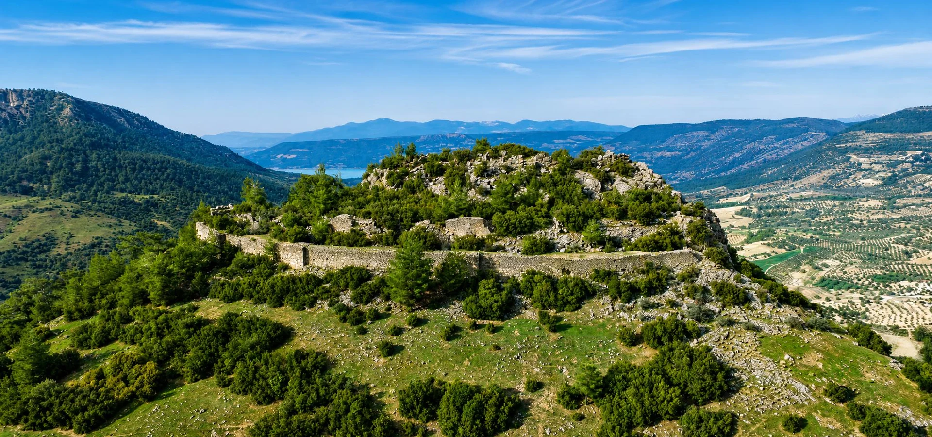
Continue your exploration of Bozdoğan's ancient fortified landscapes at a remarkable hilltop site overlooking the surrounding countryside.
Explore Körteke CastleDiscover the neighboring cities, fortresses and archaeological landscapes that reveal the complex history of western Anatolia.
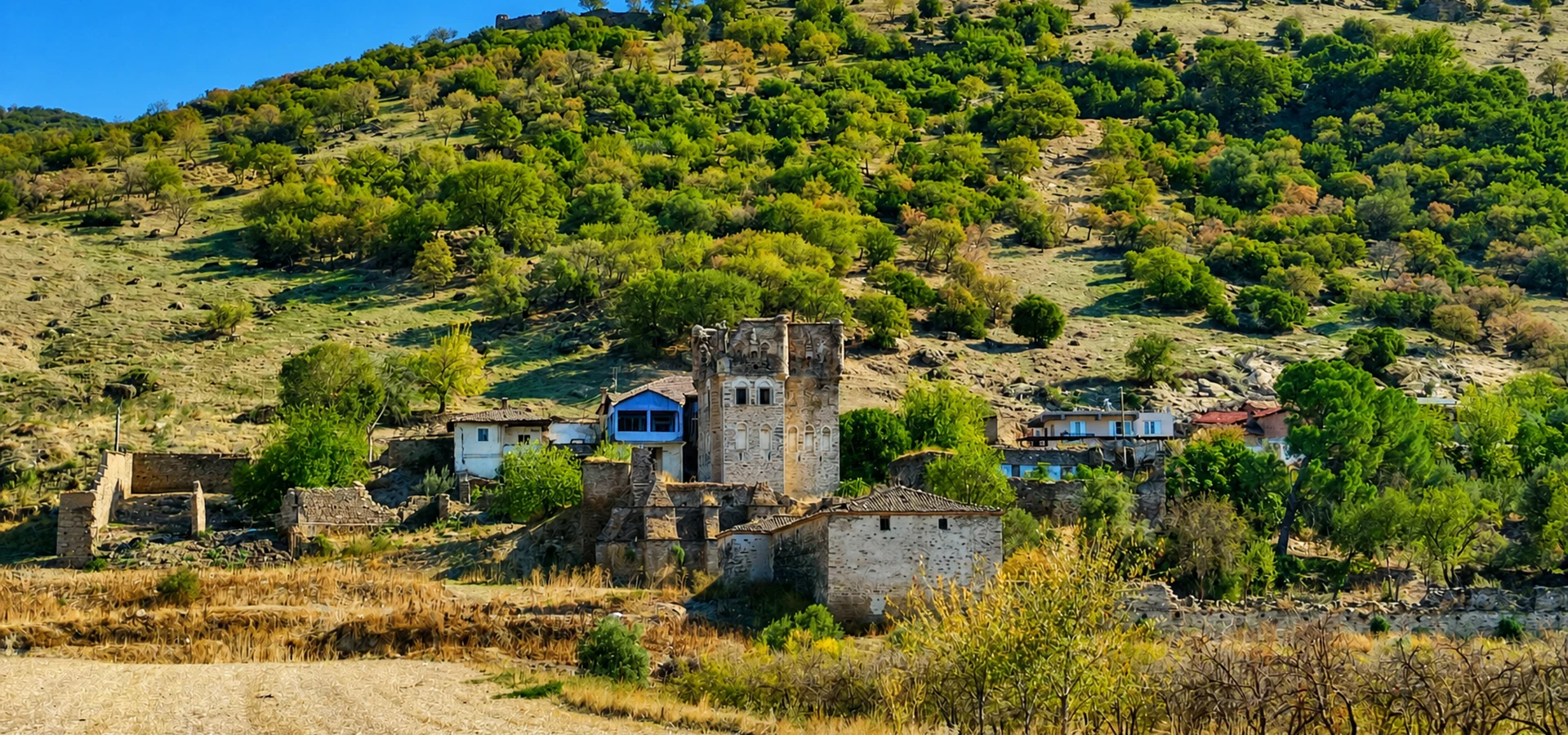
Discover another important settlement of the Harpasos Valley, with ancient fortifications and a remarkable historical landscape.
Explore Harpasa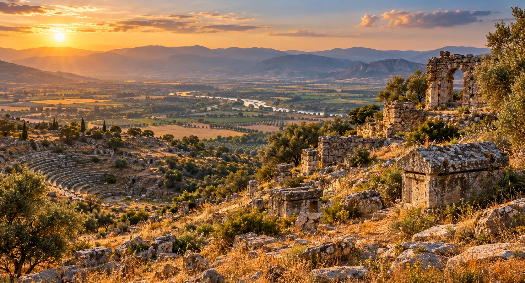
Learn about an ancient settlement connected with the historical geography of the Büyük Menderes region and its neighboring cities.
Explore Orthosia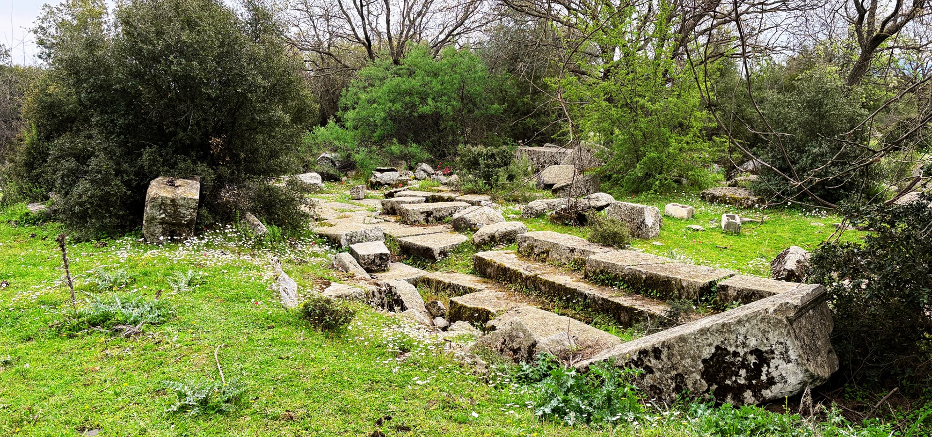
Explore another fascinating Carian hilltop settlement where ancient fortifications, religious history and mountainous terrain meet.
Explore Amyzon